Topador
Topador is a populated centre in the north of the Artigas Department of northern Uruguay, near the borders with Brazil.
Topador | |
|---|---|
Populated centre | |
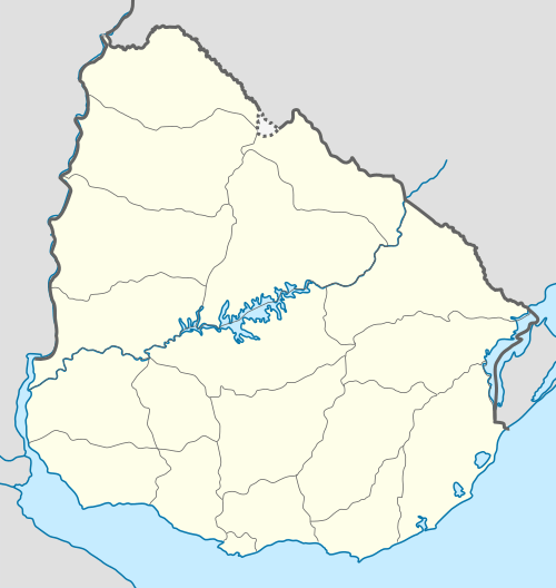 Topador Location in Uruguay | |
| Coordinates: 30°17′52″S 56°49′17″W | |
| Country | |
| Department | Artigas Department |
| Population (2011) | |
| • Total | 124 |
| Time zone | UTC -3 |
| Postal code | 55000 |
| Dial plan | +598 477 (+5 digits) |
Location
It is located 20.5 kilometres (12.7 mi) into a road that splits off Route 30 in a northwestern direction, about 23 kilometres (14 mi) west of Artigas, the capital city of the department.
Population
In 2011 Topador had a population of 124.[1]
| Year | Population |
|---|---|
| 1963 | 186 |
| 1975 | 151 |
| 1985 | 161 |
| 1996 | 173 |
| 2004 | 205 |
| 2011 | 124 |
Source: Instituto Nacional de Estadística de Uruguay[2]
gollark: No.
gollark: I do actually sometimes do that.
gollark: Well, it would also probably break in some browsers.
gollark: I don't know if it actually gets used for that, but they can contain JS.
gollark: My EPUB reader will happily let me mess with any aspect of the formatting and controls.
References
- "Censos 2011 Artigas (needs flash plugin)". INE. 2012. Retrieved 25 August 2012.
- "1963–1996 Statistics / T" (DOC). Instituto Nacional de Estadística de Uruguay. 2004. Retrieved 11 July 2011.

This article is issued from Wikipedia. The text is licensed under Creative Commons - Attribution - Sharealike. Additional terms may apply for the media files.