Thordarhyrna
Thordarhyrna (Icelandic: Þórðarhyrna [ˈθourðarhɪrtna]) is one of seven[1] subglacial volcanoes beneath the Vatnajokull glacier Iceland.
| Thordarhyrna | |
|---|---|
 Thordarhyrna | |
| Highest point | |
| Listing | List of volcanoes in Iceland |
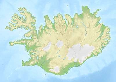
| Coordinates | 64°12′4″N 17°0′17″W |
| Geology | |
| Mountain type | Subglacial volcano |
| Last eruption | 1910 |
Eruptions
It last erupted in 1910 and prior to that in 1903.[2][3]
An eruption in 3550 BC ± 500 years poured out 150,000,000 cubic meters of lava in the area Bergvatnsarhraun to the south of Thordarhyrna.[4]
Geology
There is a mechanical interaction between Thordarhyrna and Grimsvötn, despite these volcanoes being relatively far apart,[6] so the eruption in 1902 - 1904 was combined with an eruption from Grimsvötn and had a Volcanic Explosivity Index (VEI) of 4.[7]
A fault runs (N.35°W) from Thordarhyrna towards Hamarinn, and separates two different tectonic regions.[8]
gollark: I mean, my approach to such a problem would just be to duckduckgo "factorize number" or something, and most of the programmers on the servers potatOS is tested on were fine with it. People could even have just *asked* how to do it.
gollark: It's not a hard problem. I'm not doing it in my head.
gollark: But somehow SO MANY PEOPLE don't get it. They just say "HELP ME IT IS DIFFICULT MATHS IS THIS VIRUS" or "WHAT IS THIS I DO NOT KNOW MATHS WHAT IS SEMIPRIME" and stuff.
gollark: I thought "well, this is an easy problem, you just need to duckduckgo 'factorize number' or use the `factor` command".
gollark: You know potatOS? To uninstall it, you need to solve a simple problem to stop automatic uninstallation (computers can do it easily but due to technical things user code can't actually *read* the problem it prints). Specifically, it generates a 10-digit semiprime and asks you to factorize it.
See also
References
- "Archived copy" (PDF). Archived from the original (PDF) on 2012-03-09. Retrieved 2011-05-24.CS1 maint: archived copy as title (link) Figure 2.8 shows 7 volcanoes beneath the glacier
- "Archived copy". Archived from the original on 2012-12-21. Retrieved 2011-05-24.CS1 maint: archived copy as title (link) Eruptions in Iceland since 1900
- "Archived copy". Archived from the original on 2011-05-27. Retrieved 2011-05-27.CS1 maint: archived copy as title (link)
- "Elsevier".
- Surface and bedrock topography mapped by radio echo sounding
This article is issued from Wikipedia. The text is licensed under Creative Commons - Attribution - Sharealike. Additional terms may apply for the media files.