Thayet
Thayet (Burmese: သရက်; MLCTS: sarak; pronounced [θəjɛʔ]) is a capital city in Thayet District of Magway Region in central Myanmar. It is a port on the right (western) bank of the Irrawaddy River, across and just south of Allanmyo,[1] between Pyay (Prome) and Magway. Thayet is the administrative seat of both Thayet District and Thayet Township. As of 2010, the population was estimated at 108,000.[2]
Thayet | |
|---|---|
City | |
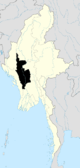
 Thayet Location in Burma | |
| Coordinates: 19°19′30″N 95°10′59″E | |
| Country | |
| Region | |
| District | Thayet District |
| Township | Thayet Township |
| Population (2010) | |
| • Urban | 108,000 |
| Time zone | UTC+6.30 (MST) |
In the 1960s limestone quarries a few miles south of Thayet were developed to supply the town's cement factory.
Notes
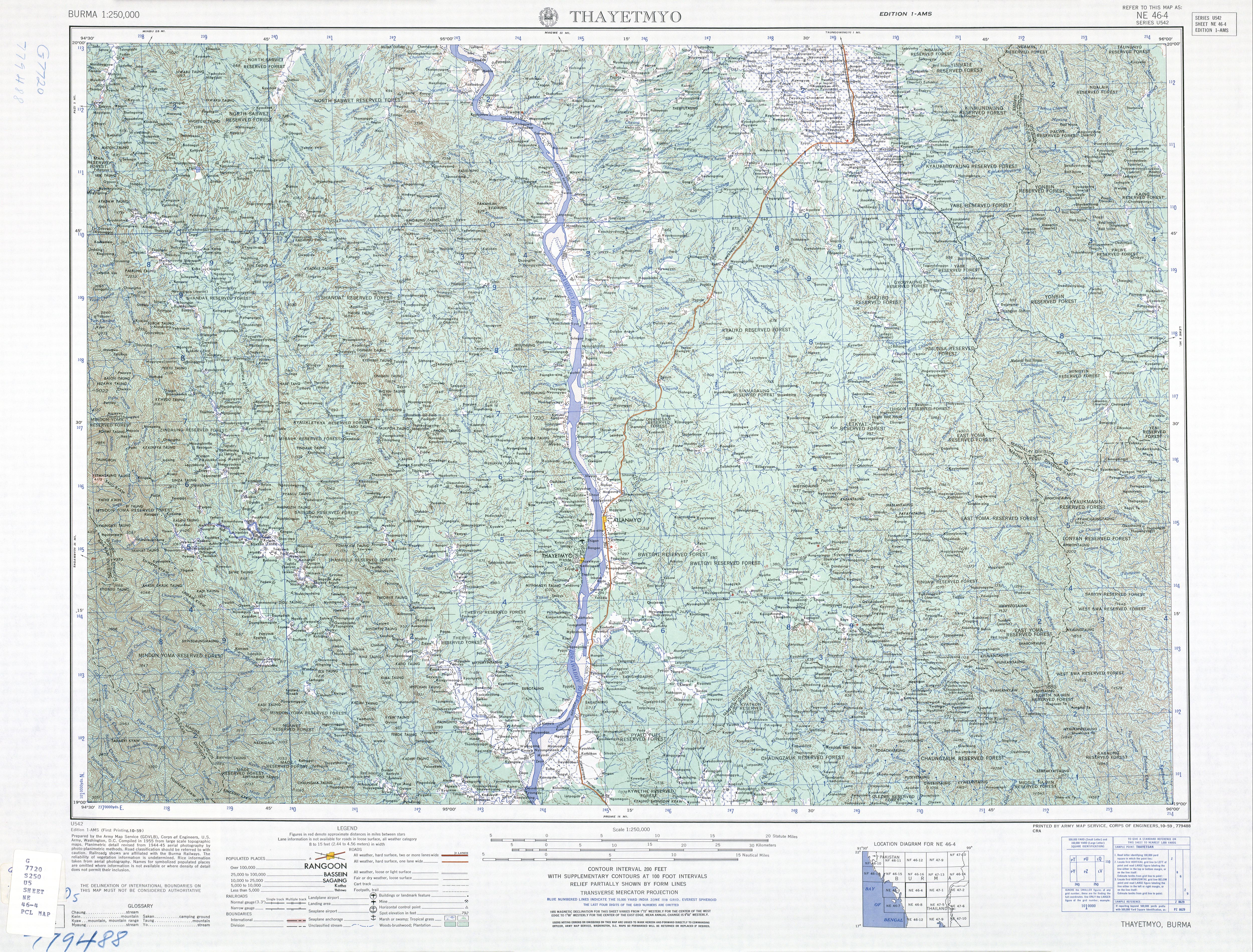
- Burma 1:250,000 topographic map, Series U542, NE 46-4 Thayetmyo U.S. Army Map Service, October 1959
- ""Myanmar: largest cities and towns and statistics of their population:calculation 2010"". Archived from the original on 2012-09-19. World Gazetteer
gollark: Surely whoever it is could do it *again* if they did it once?
gollark: Or provided enough that they could associate it with some other thing somewhere which held that information.
gollark: Specific heat capacity? If you're talking about energy it can hold rather than how well it dissipates it.
gollark: I don't care. That's inconsistent with English convention.
gollark: The correct pronunciation is "gife", like "life", though.
External links
Capital: Magway | ||
| Gangaw District |
|   |
| Magway District | ||
| Minbu District | ||
| Pakokku District | ||
| Thayet District |
| |
| Main cities and towns | ||
This article is issued from Wikipedia. The text is licensed under Creative Commons - Attribution - Sharealike. Additional terms may apply for the media files.