Thagas
Thagas (Balti and (Urdu: تھگس)) is a village in Gilgit Baltistan, Pakistan located 32 km away from Khaplu in east. It is on the bank of the Saltoro River just before it joins the Shyok River. Thagas is the administrative headquarters of Mashabrum subdivision of Ghanche District.
Thagas تھگس | |
|---|---|
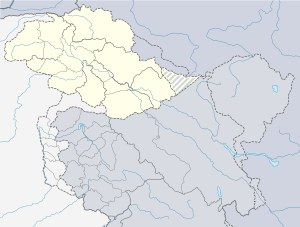 Thagas thagas on Pakistan Map | |
| Coordinates: 35°12′48″N 76°27′46″E | |
| Country | Pakistan |
| Province | Gilgit Baltistan |
| Time zone | UTC+5 (PST) |
| • Summer (DST) | UTC+6 (GMT+5) |
History and tradition
Thagas is on the way from the centres of Baltistan, such as Skardu and Khaplu, to the Saltoro Pass, which was a traditional trade route to Kashgar. A mosque traditionally attributed to Shah-e-Hamadan is found at Thagas, which is said to have built by him while on his way to Kashgar.[1]
gollark: Or, well, with fewer footguns.
gollark: Sure, you can run your C code through random tools, but it's easier to just program in sane languages without footguns.
gollark: My code contains 10515 ~~bugs~~ unintended features per line.
gollark: PotatOS has more unintended features than I can count!
gollark: See, I know everything*.
References
- Dani, Ahmad Hasan (1989), Islamic Architecture: The Wooden Style of Northern Pakistan, National Hijra Council, p. 53
This article is issued from Wikipedia. The text is licensed under Creative Commons - Attribution - Sharealike. Additional terms may apply for the media files.