Tarani
Tarani is a village in Kamrup rural district, situated in north bank of river Brahmaputra, surrounded by Goreswar and Baihata.[1]
Tarani | |
|---|---|
Village | |
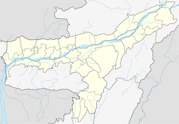
 Tarani Location in Assam, India  Tarani Tarani (India) | |
| Coordinates: 26.51°N 91.61°E | |
| Country | |
| State | Assam |
| Region | Western Assam |
| District | Kamrup |
| Government | |
| • Body | Gram panchayat |
| Elevation | 42 m (138 ft) |
| Languages | |
| • Official | Assamese |
| Time zone | UTC+5:30 (IST) |
| PIN | 781354 |
| Vehicle registration | AS |
| Website | kamrup |
Transport
The village is located north of National Highway 31, connected to nearby towns and cities with regular buses and other modes of transportation.
gollark: IRC is an apioformologistic mess, yes.
gollark: ++remind 2mo macron is to have IRC builtin or not exist.
gollark: Lyricly, you're being held to this now.
gollark: https://media.discordapp.net/attachments/426054105577029654/813538102681141288/screenshot-22_27_41-22_02_2021.png
gollark: https://media.discordapp.net/attachments/426054105577029654/809875799057891418/FB_IMG_1613155682400.jpg?width=422&height=422
See also
References
- "Tarani". pincode.net.in. Retrieved 5 August 2013.
This article is issued from Wikipedia. The text is licensed under Creative Commons - Attribution - Sharealike. Additional terms may apply for the media files.