Talisheek, Louisiana
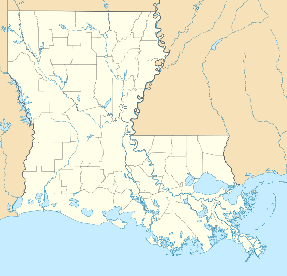
Talisheek is an unincorporated community in St. Tammany Parish, Louisiana, United States. Talisheek is located on Louisiana Highway 435, 14 miles (23 km) east-northeast of Covington. Talisheek has a post office with ZIP code 70464.[2]
Talisheek, Louisiana | |
|---|---|
 Talisheek, Louisiana  Talisheek, Louisiana | |
| Coordinates: 30°31′58″N 89°52′36″W | |
| Country | United States |
| State | Louisiana |
| Parish | St. Tammany |
| Elevation | 59 ft (18 m) |
| Time zone | UTC-6 (Central (CST)) |
| • Summer (DST) | UTC-5 (CDT) |
| ZIP code | 70464 |
| Area code(s) | 985 |
| GNIS feature ID | 1628324[1] |
| FIPS code | 22-74585 |
Etymology
The name is derived from the word talushik which means rock, gravel or pebble in the Choctaw language.[3]
gollark: In GCSE Economics I don't think you use any maths more complicated than multiplication.
gollark: *cough*Economics*cough*
gollark: Luckily quite a few of those are pretty easy because standards are rather low and it's mostly random memorization.
gollark: English Literature, English Language, Further Maths, Maths, Ancient Greek, Latin, Chemistry, Physics, Economics, Biology, German.
gollark: ?remind 3y Execute Contingency Theta.
References
- "Talisheek". Geographic Names Information System. United States Geological Survey.
- United States Postal Service (2012). "USPS - Look Up a ZIP Code". Retrieved 2012-02-15.
- William A. Read (12 October 2008). Louisiana Place Names of Indian Origin: A Collection of Words. University of Alabama Press. pp. 59–. ISBN 978-0-8173-5505-0.
Municipalities and communities of St. Tammany Parish, Louisiana, United States | ||
|---|---|---|
Parish seat: Covington | ||
| Cities | 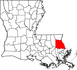 | |
| Towns | ||
| Villages | ||
| CDPs | ||
| Unincorporated communities | ||
This article is issued from Wikipedia. The text is licensed under Creative Commons - Attribution - Sharealike. Additional terms may apply for the media files.