Tahuna, Indonesia
Tahuna is a town and the capital of Sangihe Islands Regency in North Sulawesi province. It stretches across the districts of Tahuna and Tahuna Timur. Its population is 32792.
Tahuna | |
|---|---|
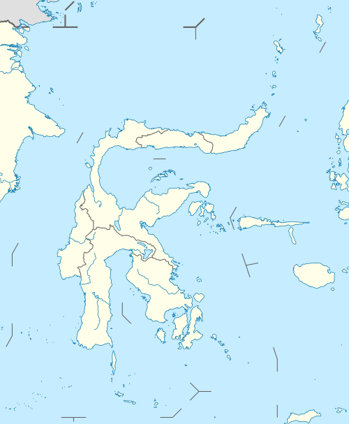 Tahuna Location in North Sulawesi and Indonesia 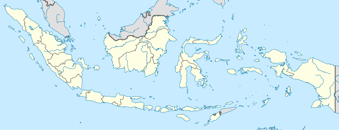 Tahuna Tahuna (Indonesia) | |
| Coordinates: 3°36′42.7176″N 125°30′2.7504″E | |
| Country | |
| Province | North Sulawesi |
| Regency | Sangihe Islands Regency |
| Elevation | 39 ft (12 m) |
| Population (2017) | |
| • Total | 32,792 [1] |
| Time zone | UTC+8 (Indonesia Central Standard Time) |
Climate
Tahuna has a tropical rainforest climate (Af) with heavy to very heavy rainfall year-round.
| Climate data for Tahuna | |||||||||||||
|---|---|---|---|---|---|---|---|---|---|---|---|---|---|
| Month | Jan | Feb | Mar | Apr | May | Jun | Jul | Aug | Sep | Oct | Nov | Dec | Year |
| Average high °C (°F) | 30.6 (87.1) |
30.6 (87.1) |
31.1 (88.0) |
31.8 (89.2) |
31.5 (88.7) |
31.1 (88.0) |
30.8 (87.4) |
31.5 (88.7) |
31.6 (88.9) |
31.8 (89.2) |
31.4 (88.5) |
30.9 (87.6) |
31.2 (88.2) |
| Daily mean °C (°F) | 26.3 (79.3) |
26.2 (79.2) |
26.6 (79.9) |
27.1 (80.8) |
27.1 (80.8) |
26.7 (80.1) |
26.4 (79.5) |
26.9 (80.4) |
26.8 (80.2) |
27.0 (80.6) |
26.8 (80.2) |
26.6 (79.9) |
26.7 (80.1) |
| Average low °C (°F) | 22.0 (71.6) |
21.9 (71.4) |
22.1 (71.8) |
22.4 (72.3) |
22.7 (72.9) |
22.4 (72.3) |
22.1 (71.8) |
22.3 (72.1) |
22.1 (71.8) |
22.3 (72.1) |
22.3 (72.1) |
22.3 (72.1) |
22.2 (72.0) |
| Average precipitation mm (inches) | 414 (16.3) |
299 (11.8) |
307 (12.1) |
295 (11.6) |
312 (12.3) |
294 (11.6) |
293 (11.5) |
210 (8.3) |
215 (8.5) |
276 (10.9) |
376 (14.8) |
402 (15.8) |
3,693 (145.5) |
| Source: Climate-Data.org[2] | |||||||||||||
gollark: https://www.man7.org/linux/man-pages/man2/socket.2.html is possibly maybe relevant?
gollark: Open a socket in what? C?
gollark: I would like events, if we did them and I liked them.
gollark: Signals are events.
gollark: Spawn a new process and copy all the memory over?
References
- Biro Pusat Statistik, Jakarta, 2017
- "Climate: Tahuna". Climate-Data.org. Retrieved July 19, 2020.
This article is issued from Wikipedia. The text is licensed under Creative Commons - Attribution - Sharealike. Additional terms may apply for the media files.