Svanberga
Svanberga is a locality in Norrtälje Municipality, Stockholm County, Sweden. It is situated some 10 kilometres (6.2 mi) north of the town of Norrtälje, and on the eastern shore of the Erken lake. It had 501 inhabitants in 2010.[1]
Svanberga | |
|---|---|
 Svanberga 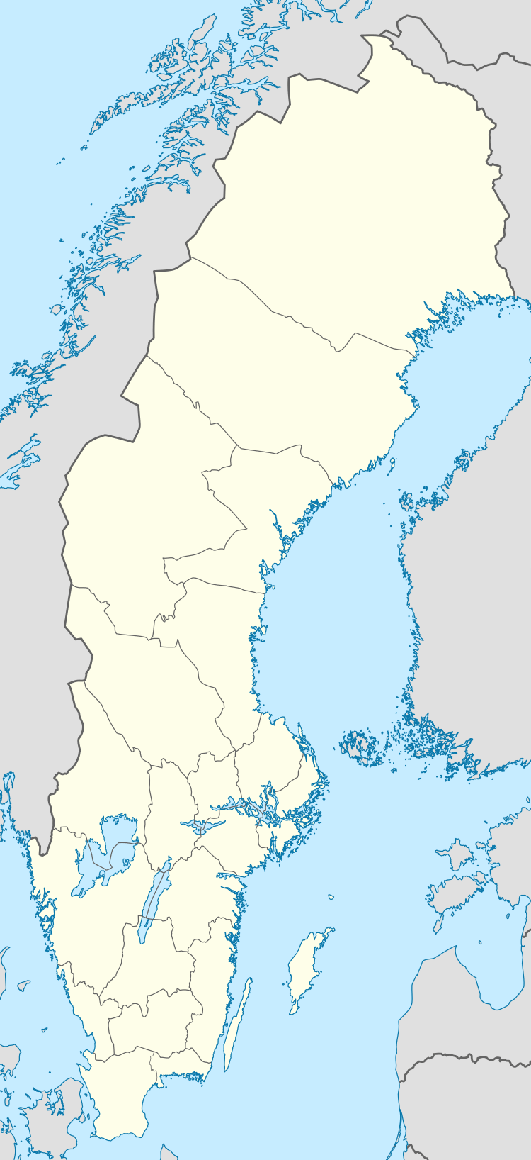 Svanberga | |
| Coordinates: 59°50′N 18°39′E | |
| Country | Sweden |
| Province | Uppland |
| County | Stockholm County |
| Municipality | Norrtälje Municipality |
| Area | |
| • Total | 0.58 km2 (0.22 sq mi) |
| Population (31 December 2010)[1] | |
| • Total | 501 |
| • Density | 863/km2 (2,240/sq mi) |
| Time zone | UTC+1 (CET) |
| • Summer (DST) | UTC+2 (CEST) |
Climate
Svanberga has a humid continental climate (Köppen Dfb). It is located in a frost hollow and is prone to very cold temperatures in winter, often in brief spells, with highly variable patterns. In spring air frosts linger on until early May, while summer highs are quite warm.
| Climate data for Svanberga (2002–2018 averages, extremes since 1995) | |||||||||||||
|---|---|---|---|---|---|---|---|---|---|---|---|---|---|
| Month | Jan | Feb | Mar | Apr | May | Jun | Jul | Aug | Sep | Oct | Nov | Dec | Year |
| Record high °C (°F) | 10.4 (50.7) |
10.7 (51.3) |
17.2 (63.0) |
23.0 (73.4) |
28.2 (82.8) |
30.7 (87.3) |
31.6 (88.9) |
30.2 (86.4) |
26.1 (79.0) |
20.1 (68.2) |
13.0 (55.4) |
12.8 (55.0) |
31.6 (88.9) |
| Mean maximum °C (°F) | 6.1 (43.0) |
6.7 (44.1) |
12.8 (55.0) |
18.7 (65.7) |
23.5 (74.3) |
26.7 (80.1) |
28.5 (83.3) |
26.9 (80.4) |
22.3 (72.1) |
15.9 (60.6) |
11.2 (52.2) |
7.2 (45.0) |
29.3 (84.7) |
| Average high °C (°F) | −0.1 (31.8) |
0.5 (32.9) |
4.3 (39.7) |
10.7 (51.3) |
16.1 (61.0) |
19.6 (67.3) |
22.9 (73.2) |
21.5 (70.7) |
16.8 (62.2) |
10.0 (50.0) |
5.3 (41.5) |
1.9 (35.4) |
10.8 (51.4) |
| Daily mean °C (°F) | −3.4 (25.9) |
−3.4 (25.9) |
−0.6 (30.9) |
4.8 (40.6) |
9.9 (49.8) |
13.6 (56.5) |
16.9 (62.4) |
15.9 (60.6) |
11.8 (53.2) |
6.2 (43.2) |
2.5 (36.5) |
−1.0 (30.2) |
6.1 (43.0) |
| Average low °C (°F) | −6.6 (20.1) |
−7.2 (19.0) |
−5.5 (22.1) |
−1.2 (29.8) |
3.7 (38.7) |
7.5 (45.5) |
10.9 (51.6) |
10.3 (50.5) |
6.8 (44.2) |
2.4 (36.3) |
−0.4 (31.3) |
−3.9 (25.0) |
1.4 (34.5) |
| Mean minimum °C (°F) | −21.5 (−6.7) |
−19.1 (−2.4) |
−16.9 (1.6) |
−8.2 (17.2) |
−3.3 (26.1) |
1.1 (34.0) |
4.4 (39.9) |
3.1 (37.6) |
0.0 (32.0) |
−6.3 (20.7) |
−10.1 (13.8) |
−15.0 (5.0) |
−25.6 (−14.1) |
| Record low °C (°F) | −30.6 (−23.1) |
−32.5 (−26.5) |
−32.5 (−26.5) |
−16.3 (2.7) |
−8.4 (16.9) |
−1.4 (29.5) |
1.9 (35.4) |
0.5 (32.9) |
−3.2 (26.2) |
−13.7 (7.3) |
−25.6 (−14.1) |
−31.6 (−24.9) |
−32.5 (−26.5) |
| Average precipitation mm (inches) | 43.8 (1.72) |
31.1 (1.22) |
26.4 (1.04) |
28.7 (1.13) |
38.2 (1.50) |
61.2 (2.41) |
55.4 (2.18) |
71.0 (2.80) |
49.0 (1.93) |
51.5 (2.03) |
57.0 (2.24) |
49.0 (1.93) |
562.3 (22.13) |
| Source 1: SMHI Open Data for Svanberga, precipitation[2] | |||||||||||||
| Source 2: SMHI Open Data for Svanberga, temperature[3] | |||||||||||||
gollark: I have been, of course, slightly developing Minoteaur.
gollark: So what did you want to discuss, if anything?
gollark: https://images-ext-2.discordapp.net/external/l8Lwvy-0mfclwGAiVR5zV_AZ_V-t2HWoxXBJJzpbm3o/https/media.discordapp.net/attachments/522072969573433354/878326766270283776/unknown.png
gollark: Join &test (& means localized to the server).
gollark: I use hexchat.
References
- "Tätorternas landareal, folkmängd och invånare per km2 2005 och 2010" (in Swedish). Statistics Sweden. 14 December 2011. Archived from the original on 10 January 2012. Retrieved 10 January 2012.
- "Open Data for Svanberga" (in Swedish). Swedish Meteorological and Hydrological Institute. Retrieved 19 August 2019.
- "Open Data for Svanberga" (in Swedish). Swedish Meteorological and Hydrological Institute. 19 August 2019.
This article is issued from Wikipedia. The text is licensed under Creative Commons - Attribution - Sharealike. Additional terms may apply for the media files.