Sunyani Airport
Sunyani Airport (IATA: NYI, ICAO: DGSN) is an airport serving Sunyani, a town and capital of Brong Ahafo mid-western Ghana.[1][2][4]
Sunyani Airport | |||||||||||
|---|---|---|---|---|---|---|---|---|---|---|---|
| Summary | |||||||||||
| Airport type | Public | ||||||||||
| Operator | Government | ||||||||||
| Location | Sunyani, Brong Ahafo | ||||||||||
| Elevation AMSL | 1,014 ft / 309 m | ||||||||||
| Coordinates | 07°21′42″N 002°19′43″W | ||||||||||
| Map | |||||||||||
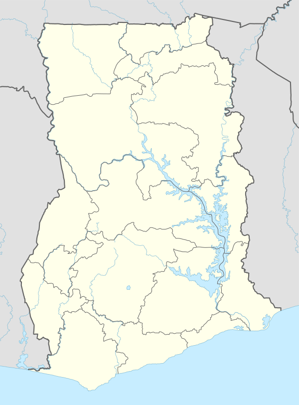 NYI Location in Ghana | |||||||||||
| Runways | |||||||||||
| |||||||||||
Airlines destination
| Airlines | Destinations |
|---|---|
| Baby Jet Airlines | Accra, Kumasi |
gollark: Idea: whenever a parent fails to parent correctly, orbital laser strike.
gollark: The other real programmer way would be to intimidate the computer into rotating the image, through sheer force of will.
gollark: Apparently, yes.
gollark: Also, some phones "rotate" it by changing the metadata or something, and it seems to (WHYYYY, it should be a screenshot) be a picture.
gollark: Real programmers would of course directly consume the pixels from the cable to their monitor, thus obviating this problem.
References
- Airport information for DGSN at World Aero Data. Data current as of October 2006.Source: DAFIF.
- Airport information for NYI at Great Circle Mapper. Source: DAFIF (effective October 2006).
- Google Maps - Sunyani
- "GACL – Ghana Airports Company Limited". www.gacl.com.gh. Retrieved 2018-08-20.
External links
This article is issued from Wikipedia. The text is licensed under Creative Commons - Attribution - Sharealike. Additional terms may apply for the media files.