Sunwapta River
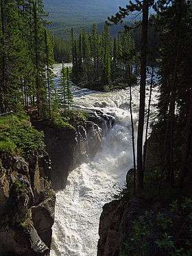
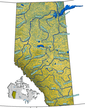
The Sunwapta River is a major tributary of the Athabasca River in Jasper National Park in Alberta, Canada.
| Sunwapta River | |
|---|---|
 | |
| Location | |
| Country | Canada |
| Province | Alberta |
| Physical characteristics | |
| Source | |
| • location | Athabasca Glacier |
| • coordinates | 52°12′30″N 117°14′14″W |
| • elevation | 2,037 m (6,683 ft) |
| Mouth | |
• location | Athabasca River |
• coordinates | 52°31′41″N 117°41′05″W |
• elevation | 1,300 m (4,300 ft) |
Course
The headwaters of the Sunwapta River are near the Columbia Icefield in the valley west-northwest of Sunwapta Pass, which divides Jasper National Park from Banff National Park. Several kilometres down the valley from the pass is Sunwapta Lake, at the toe of the Athabasca Glacier, which is considered the nominal source for the river. The Sunwapta River then continues to run northwest through Jasper National Park, following the Icefields Parkway, and finally joins the Athabasca River shortly after Sunwapta Falls.[1]
Sunwapta is a Stoney language word meaning "turbulent river." Geologist A. P. Coleman named the river in 1892.[2]
Tributaries
- Kitchener Creek
- Tangle Creek
- Woolley Creek
- Beauty Creek
- Diadem Creek
- Grizzly Creek
- Jonas Creek
- Poboktan Creek
 Sunwapta River originates at the toe of the Athabasca Glacier
 Tangle Creek, a tributary of the Sunwapta
gollark: I find that it's easier to just connect LEDs and switches to the various wires.
gollark: Are they trying to run JS from a base64 data URL?!
gollark: "If you're reading this, join our team to fix this awful mess ***PLEASE HELP US***"
gollark: I doubt it...
gollark: RSS feeds are *usually* less bad, if they even have them.
See also
References
- Mussio Ventures. Central Alberta Backroad Mapbook. Burnaby: Backroad Mapbooks (2002), pp. 31-32
- Karamitsanis, Aphrodite (1991). Place Names of Alberta, Volume 1. Calgary: University of Calgary Press, pg. 240
This article is issued from Wikipedia. The text is licensed under Creative Commons - Attribution - Sharealike. Additional terms may apply for the media files.
