Sultanpur, Karimnagar district
Sultanpur is a Gram panchayat in Karimnagar district in the southern state of Telangana, India. The village is located on the way between Karimnagar and Peddapalli; equal distance from both. Sultanpur is a village in Eligedu mandal.
Sultanpur, Karimnagar district | |
|---|---|
Village in India | |
| Nickname(s): Sulthanpur | |
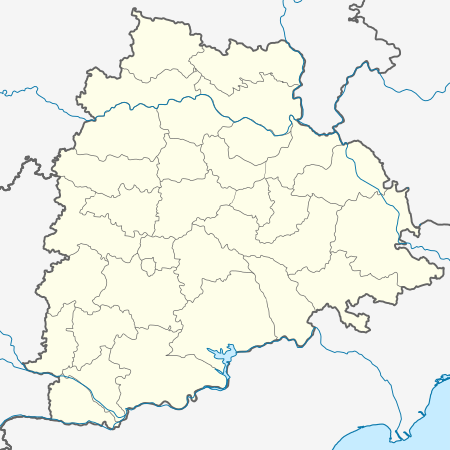 Sultanpur Location of Sultanpur in Telangana | |
| Coordinates: 18.53304°N 79.23525°E | |
| Country | |
| State | Telangana |
| Region | Telangana |
| District | Karimnagar |
| Elevation | 238 m (781 ft) |
Sultanpur serves as the postal head for few neighboring villages. Sultanpur has an upper primary school, Zilla Parishad High School.
Agriculture
Sultanpur produces paddy, maize, ground-nut and more commercial crops. Though every land in the village have bore-wells to water the land, most of the crops are watered with the aid of canal from Sriram Sagar Project.
Transportation
Mostly one needs to have personal vehicle or they can take autos.[1][2][3]
gollark: In theory it could pull it from the GNSS hardware, but I don't know if anything actually does this.
gollark: I'm not actually sure how Android sets time, since it seems to disagree with an NTP client app I have installed by as much as 0.5 seconds.
gollark: Maybe its time server broke.
gollark: Maybe it's network-syncing wrong.
gollark: It's already too late.
References
- Village Directory Archived 22 July 2011 at the Wayback Machine, 2001 Census of India
- India Mapia, India Mapia
- Sultanpur, Andhra Pradesh, maps.google.co.in, Sultanpur, Andhra Pradesh Google maps
This article is issued from Wikipedia. The text is licensed under Creative Commons - Attribution - Sharealike. Additional terms may apply for the media files.