Stora Höga
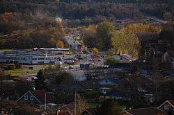
Stora Höga is a locality situated in Stenungsund Municipality, Västra Götaland County, Sweden with 2,751 inhabitants in 2010.[1]
Stora Höga | |
|---|---|
 | |
 Stora Höga  Stora Höga | |
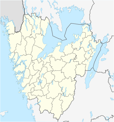
| Coordinates: 58°01′N 11°50′E | |
| Country | Sweden |
| Province | Bohuslän |
| County | Västra Götaland County |
| Municipality | Stenungsund Municipality |
| Area | |
| • Total | 2.43 km2 (0.94 sq mi) |
| Population (31 December 2010)[1] | |
| • Total | 2,751 |
| • Density | 1,134/km2 (2,940/sq mi) |
| Time zone | UTC+1 (CET) |
| • Summer (DST) | UTC+2 (CEST) |
Stora Höga is part of the Jörlanda parish in Stenungsund, and is situated between a railroad station originally known as Vallen. The Vallen railroad station later changed its name to Stora Höga after a nearby farm by the same name. Some of the other original farms in the old Stora Höga are Lilla Höga, Anrås, and Bråland.
On the ocean side is an old steam boat pier known as Getskär, nowadays used as a dock for small boats and also with a small beach that is popular during the summer months.
During the mid- and late 2000s, Stora Höga has expanded rapidly leading to an influx of new residents. The rapid expansion has led to some social conflicts in recent time, with many personal bankruptcies and foreclosures on homes that the owners couldn't really afford.
Two simultaneous motorcycle gang-related murders in 2009, where the bodies were found in Stora Höga, received national media attention.[2]
Landmarks
In the center of Stora Höga is Valeberget, a rock formation of significant importance to the original local population. Valeberget is more than a rock, it is a living cultural landscape considered sacred to the locals. The spirits of ancestral beings continue to reside on the sacred rock, making it a deeply important part of the local cultural identity. Valeberget's traditional significance sometimes lends to the comparison "Sweden's Uluru". On the top of Valeberget is an old bonfire site that is yet to be excavated by archaeologists. From the bonfire site, the mountain Blåkulla can be seen on a clear day. Blåkulla is the highest point on Brattön island, and is a site where witches would gather at springtime according to traditional folklore. The bonfire site on Valeberget is believed to have been used to scare off witches from Blåkulla.
In nearby Anrås, including where the Anråse å stream/river meets the ocean, there are several ancient burial mounds and other archaeological artifacts. The name Anrås is believed to be a combined word from "Oln" which means "growing, flooded" and "os" (river mouth). The name "Oln" is believed to be the original name for the river/stream, and Anrås would thus mean "the outlet of Oln".
Parts of Anrås have been declared of national interest due to archaeological artifacts and overall landscape. Maps and photos from the area can be found in a report (in Swedish) published by Stenungsund municipality in 2016.
References
- "Tätorternas landareal, folkmängd och invånare per km2 2005 och 2010" (in Swedish). Statistics Sweden. 14 December 2011. Archived from the original on 10 January 2012. Retrieved 10 January 2012.
- Two dead in shootings outside Gothenburg (Stockholm News)