Stewart Sound Group
Stewart Sound Islands are a group of islands of the Andaman Islands. It belongs to the North and Middle Andaman administrative district, part of the Indian union territory of Andaman and Nicobar Islands.[6]
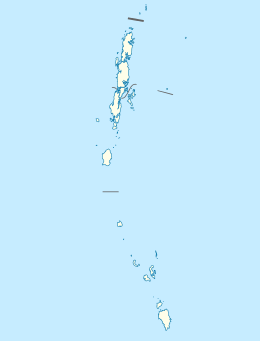
 Stewart Sound Group Location of Stewart Sound Group | |
| Geography | |
|---|---|
| Location | Bay of Bengal |
| Coordinates | 12.97°N 92.93°E |
| Archipelago | Andaman Islands |
| Adjacent bodies of water | Indian Ocean |
| Total islands | 20 |
| Major islands |
|
| Area | 24.88 km2 (9.61 sq mi)[1] |
| Highest elevation | 147 m (482 ft)[2] |
| Administration | |
| District | North and Middle Andaman |
| Island group | Andaman Islands |
| Island sub-group | Stewart Sound Group |
| Taluk | multiple |
| Largest settlement | Aves Island |
| Demographics | |
| Population | 4 (2011) |
| Pop. density | 0.16/km2 (0.41/sq mi) |
| Ethnic groups | Hindu, Andamanese |
| Additional information | |
| Time zone | |
| PIN | 744202[3] |
| Telephone code | 031927 [4] |
| ISO code | IN-AN-00[5] |
| Official website | www |
| Literacy | 84.4% |
| Avg. summer temperature | 30.2 °C (86.4 °F) |
| Avg. winter temperature | 23.0 °C (73.4 °F) |
| Sex ratio | 1.2♂/♀ |
| Census Code | 35.639.0004 |
| Official Languages | Hindi, English |
Geography
Important islands: Aves, Stewart, Sound (the largest and highest island, at 147 metres),[2] Curlew, Blister, Gurjan, Dotrel, Oliver, Orchid, Egg, Gander, Oyster, Square, Swamp, Karlo, Goose.
Demographics
There are 2 villages, on Stewart and Aves.
gollark: I mean, eventually.
gollark: NONE WILL BE SPARED from CUDA.
gollark: MUAHAHAHAHA. osmarks.net's primary server now has an old and possibly broken GPU.
gollark: Rust is now obsolete.
gollark: Isn't this the one where they have basically no evidence of actual function?
References
- "Islandwise Area and Population - 2011 Census" (PDF). Government of Andaman.
- Sailing Directions (Enroute), Pub. 173: India and the Bay of Bengal (PDF). Sailing Directions. United States National Geospatial-Intelligence Agency. 2017. p. 273.
- "A&N Islands - Pincodes". 22 September 2016. Archived from the original on 23 March 2014. Retrieved 22 September 2016.
- "STD Codes of Andaman and Nicobar". allcodesindia.in. Retrieved 23 September 2016.
- Registration Plate Numbers added to ISO Code
- "Village Code Directory: Andaman & Nicobar Islands" (PDF). Census of India. Retrieved 16 January 2011.

This article is issued from Wikipedia. The text is licensed under Creative Commons - Attribution - Sharealike. Additional terms may apply for the media files.