Sourdough, Montana
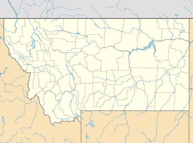
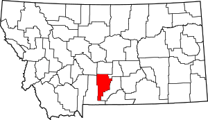
Sourdough is an unincorporated community in Sweet Grass County, Montana, United States. Sourdough is northeast of Big Timber.
Sourdough, Montana | |
|---|---|
 Sourdough, Montana  Sourdough, Montana | |
| Coordinates: 45°54′07″N 109°48′52″W | |
| Country | United States |
| State | Montana |
| County | Sweet Grass |
| Elevation | 4,662 ft (1,421 m) |
| Time zone | UTC-7 (Mountain (MST)) |
| • Summer (DST) | UTC-6 (MDT) |
| Area code(s) | 406 |
| GNIS feature ID | 776749[1] |
Sourdough appears on the Ryan Creek U.S. Geological Survey Map.
History
Established in 1912, Sourdough was an isolated village situated in the Crazy Mountains. It had homes and a schoolhouse. The schoolhouse has been restored and relocated to Big Timber and part of the Crazy Mountain Museum.
There is nothing left in the location of Sourdough today.
gollark: The most common passwords are variations on passwords. People are stupid.
gollark: Or possibly the xkcd recommendation, but I think that's a bit flawed somehow.
gollark: ... just use a random one and a password manager.
gollark: It is useful to be able to just upload from the interweb, though.
gollark: Okay. Not sure what the point of bringing it up here is.
References
- "US Board on Geographic Names". United States Geological Survey. 2007-10-25. Retrieved 2008-01-31.
This article is issued from Wikipedia. The text is licensed under Creative Commons - Attribution - Sharealike. Additional terms may apply for the media files.
