Sonnette, Montana
Sonnette is an unincorporated community in west central Powder River County, Montana, United States. The community is situated near the headwaters of Pumpkin Creek, just west of the Custer National Forest. It lies along local roads northwest of the town of Broadus, the county seat of Powder River County.[2]
Sonnette | |
|---|---|
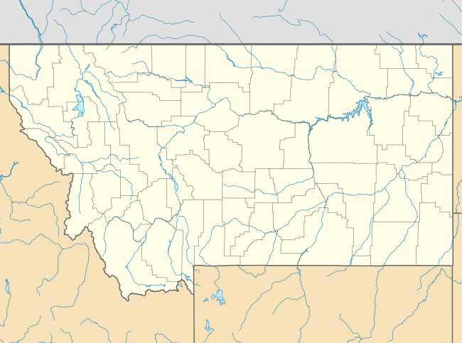 Sonnette Location within the state of Montana | |
| Coordinates: 45°24′47″N 105°49′53″W | |
| Country | United States |
| State | Montana |
| County | Powder River |
| Elevation | 3,766 ft (1,148 m) |
| Time zone | UTC-7 (Mountain (MST)) |
| • Summer (DST) | UTC-6 (MDT) |
| GNIS feature ID | 790852[1] |
Climate
According to the Köppen Climate Classification system, Sonnette has a semi-arid climate, abbreviated "BSk" on climate maps.[3]
gollark: Great!
gollark: Oh bees. I need the user IDs for apiaristic purposes.
gollark: In that case, I will harvest the invite link from your soul.
gollark: I see, added to your apiological and informational subprofiles.
gollark: ???
References
- "Sonnette, Montana". Geographic Names Information System. United States Geological Survey.
- Rand McNally. The Road Atlas '08. Chicago: Rand McNally, 2008, p. 61.
- Climate Summary for Sonnette, Montana
Municipalities and communities of Powder River County, Montana, United States | ||
|---|---|---|
| Town | 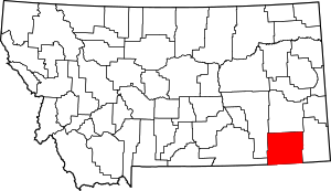 Powder River County map | |
| CDP | ||
| Other unincorporated communities | ||
This article is issued from Wikipedia. The text is licensed under Creative Commons - Attribution - Sharealike. Additional terms may apply for the media files.