Soniadi
Soniadi is a village in Kamrup rural district, situated in south bank of river Brahmaputra.[1]
Soniadi | |
|---|---|
Village | |
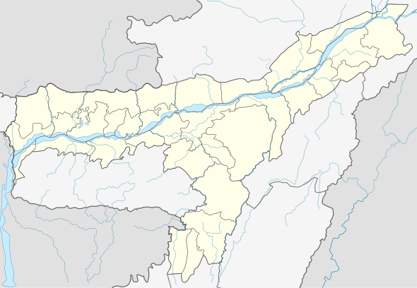
 Soniadi Location in Assam, India  Soniadi Soniadi (India) | |
| Coordinates: 26.11°N 91.58°E | |
| Country | |
| State | Assam |
| Region | Western Assam |
| District | Kamrup |
| Government | |
| • Body | Gram panchayat |
| Elevation | 42 m (138 ft) |
| Languages | |
| • Official | Assamese |
| Time zone | UTC+5:30 (IST) |
| PIN | 781102 |
| Vehicle registration | AS |
| Website | kamrup |
Transport
The village is located south of National Highway 37, connected to nearby towns and cities with regular buses and other modes of transportation.
gollark: Deaths are temporarily disabled.
gollark: I'd prefer something which makes the config for each service into just one file, and has something nice like `systemctl status` to see the running status and last few output lines of a service.
gollark: Also simpler, since you would avoid having to have weird interfaces between the `runsvdir` and `runsv`s.
gollark: I feel like it would be more efficient to move that into one process which can then do dependency management and stuff.
gollark: `runsvdir` has one `runsv` process *per service*? Huh.
See also
References
- "Soniadi". pincode.org.in. Retrieved 29 April 2015.
This article is issued from Wikipedia. The text is licensed under Creative Commons - Attribution - Sharealike. Additional terms may apply for the media files.