Skaer Fjord
Skaer Fjord, (Danish: Skærfjorden, meaning "Reef Fjord")[2] is a fjord in King Frederick VIII Land, northeastern Greenland.
| Skaer Fjord | |
|---|---|
| Skærfjorden | |
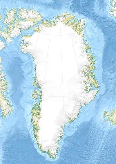 Skaer Fjord Location in Greenland | |
| Location | Northeast Greenland |
| Coordinates | 77°26′N 19°11′W |
| Ocean/sea sources | Greenland Sea |
| Basin countries | Greenland |
| Max. length | 40 km (25 mi) |
| Max. width | 30 km (19 mi) |
| References | [1] |
History
Skaerfjorden was named by the 1906-1908 Denmark expedition, which named it thus owing to the numerous reefs and skerries in it. It had also been known as Baie d'Orleans.[3]
There are remains of Inuit sites near the mouth of the fjord.
Geography
Skaer Fjord is located north of Danmarkshavn in the northern shore of Germanialand, with its mouth between Kajkap in the south and Cape Amelie in the north, southwest of Île-de-France's southern end. It is an irregular and broad fjord or bay with several arms extending westwards from it:[4]
- Penthievre Fjord in the north with C. Silfverberg Island and Joinville Island on its southwestern shore.[1]
- Agsut Sound, off the southern shore of the islands.
- H.G. Backlundfjord, south of Agsut Sound; named after Swedish geologist Helge Backlund.
- V. Clausen Fjord, together with the previous fjord roughly in the middle.
- C.F.Mourier Fjord, the south-westernmost arm.
All these fjords are roughly parallel, the northernmost ones running in a WNW/ESE direction. The southernmost one runs roughly from east to west for about 20 km.
- Flade Bugt is an arm of the bay located in its southern shore opening towards the north.[5]
 Map of Northeastern Greenland section. |
Bibliography
- Spencer Apollonio, Lands That Hold One Spellbound: A Story of East Greenland, 2008
See also
References
- GoogleEarth
- Greenland Pilot; Explanations of the place names
- Catalogue of place names in northern East Greenland, Geological Survey of Denmark (GEUS)
- Prostar Sailing Directions 2005 Greenland and Iceland Enroute, p. 127
- "Skaerfjorden". Mapcarta. Retrieved 19 May 2019.
External links
- Den grønlandske Lods - Geodatastyrelsen
- Gneiss Complex of the Skaerfjorden Region (76 degrees -78 degrees N), North-east Greenland