Sjona
Sjona is a fjord in Nordland county, Norway. The 26-kilometre (16 mi) fjord begins in the municipality of Rana and flows to the west through Nesna and Lurøy municipalities into the sea. The islands of Handnesøya and Tomma lie at the mouth of the fjord. The deepest part of the fjord reaches 636 metres (2,087 ft) below sea level. Norwegian County Road 17 follows the entire coast of the fjord. Villages along the shore of the fjord include Flostrand, Mæla, and Myklebustad.[1]
| Sjona | |
|---|---|
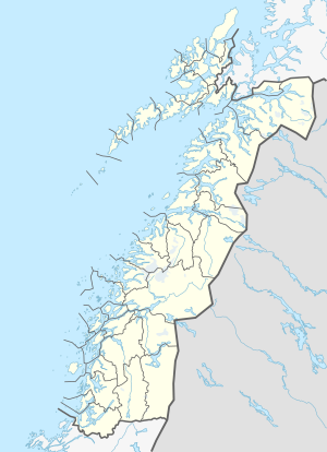
 Sjona Location of the fjord  Sjona Sjona (Norway) | |
| Location | Nordland county, Norway |
| Coordinates | 66.3032°N 13.2881°E |
| Type | Fjord |
| Basin countries | Norway |
| Max. length | 26 kilometres (16 mi) |
| Max. depth | 636 metres (2,087 ft) |
Media gallery
- Outer part seen from the south; Handnesøya to the left
- Outer part seen from the south
- Middle part seen from the south
- Middle part seen from the south
- Inner part seen from the south
- Inner part seen from the south
- Inner part seen from the south
gollark: - lacking in generics - you have to use `interface{}`- public/private visibility is controlled by *capitalization* of all things- weird bodgey specialcasing instead of good generalizable solutions- you literally cannot express a `max` function which returns the largest of two of any type of number in a well-typed way
gollark: Go's syntax is kind of nicer but its awful type system (yes, worse than an untyped language's) is... not good.
gollark: You know, it very much might be.
gollark: It's currently sitting at "basic features work" (editing, creating, viewing note pages), but more advanced stuff is not implemented because the design is hard to do elegantly.
gollark: It's going slowly because programming is hard and I'm lazy and conflicted on some design aspects.
This article is issued from Wikipedia. The text is licensed under Creative Commons - Attribution - Sharealike. Additional terms may apply for the media files.