Tomma
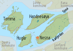
Tomma is an island in the municipality of Nesna in Nordland county, Norway. The 47.3-square-kilometre (18.3 sq mi) island sits to the west of the islands of Handnesøya and Hugla. The island is at the southern entrance to the Sjona fjord. The main settlement on this island is the village of Husby, where the old Husby Estate and the Husby Chapel are located.[1]

Map of Nesna
View of Tomma seen from the east | |
 | |
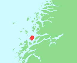
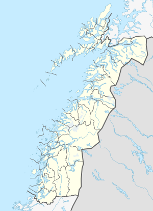
 Tomma Location of the island  Tomma Tomma (Norway) | |
| Geography | |
|---|---|
| Location | Nordland, Norway |
| Coordinates | 66.2465°N 12.7157°E |
| Area | 47.3 km2 (18.3 sq mi) |
| Length | 10 km (6 mi) |
| Width | 9 km (5.6 mi) |
| Highest elevation | 922 m (3,025 ft) |
| Highest point | Tomskjevelen |
| Administration | |
Norway | |
| County | Nordland |
| Municipality | Nesna Municipality |
Name
The Old Norse form of the name was Þǫmb. This name is probably identical with the word þǫmb which means "paunch" or "belly". (It is common in Norway to compare topographic elements with parts of the human body.)[1]
gollark: Microcontrollers and annoying low-level CPU details and whatever, I assume.
gollark: I think people would mostly call that "power grid engineering" or something.
gollark: I see.
gollark: That's just electrical engineering.
gollark: In computer science, FFT is also known as "that weird algorithm which gets the frequencies in a thing, just look at the numpy docs".
See also
This article is issued from Wikipedia. The text is licensed under Creative Commons - Attribution - Sharealike. Additional terms may apply for the media files.