Sipuikawn
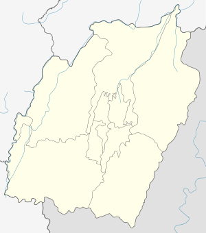
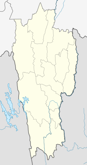
Sipuikawn is a village in Churachandpur District, Manipur, India. It is located in south-western hilly region of Manipur bordering the Indian state of Mizoram. Parbung is the Sub-Divisional block headquarters. Nearby villages are Lungthulien, Rawvakawt and Khawpuar (Mizoram).
Sipuikawn Hmarkhawpui | |
|---|---|
Village | |
 Sipuikawn  Sipuikawn  Sipuikawn | |
| Coordinates: 24.2142689°N 93.0363800°E | |
| Country | |
| State | |
| District | Churachandpur |
| Established | 1977 |
| Founded by | Lûnsawi |
| Government | |
| • Body | Village Authority |
| Population (2011) | |
| • Total | 771 |
| Languages | |
| • Official | Hmar |
| Time zone | UTC+5:30 (IST) |
| PIN | 795143 |
| Vehicle registration | MN |
Geography
The latitude of Sipuikawn, Manipur, India is 24.2144° or 24° 12' 51.8" north and the longitude is 93.0364° or 93° 2' 10.9" east[1]
Churches
- The Salvation Army (TSA)[2]
- Independence Church of India (ICI)
- Evangelical Free Church of India (EFCI)
- Evangelical Assembly Church (EAC)
- Reformed Presbyterian Church (RPC)
gollark: They can't raise money to fund capital things as easily.
gollark: What if *that* was also orchestrated as a distraction and/or to boost GameStop share prices‽
gollark: I think they were protesting about approximately that sort of thing.
gollark: ☭_irl
gollark: Well, you didn't say that before.
References
- "Sipuikawn". Mapcarta.
- "The Salvation Army Hmarkhawpui corps". www.facebook.com.
This article is issued from Wikipedia. The text is licensed under Creative Commons - Attribution - Sharealike. Additional terms may apply for the media files.