Similaun
The Similaun (German pronunciation: [zimiˈlaʊn] (![]()
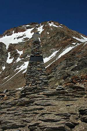
Ötzi memorial
| Similaun | |
|---|---|
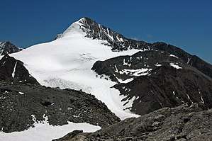 The Similaun as seen from south | |
| Highest point | |
| Elevation | 3,606 m (11,831 ft) |
| Prominence | 259 m (850 ft) |
| Parent peak | Hintere Schwärze |
| Isolation | 2.8 km (1.7 mi) |
| Coordinates | 46°45′49″N 10°52′50″E |
| Geography | |
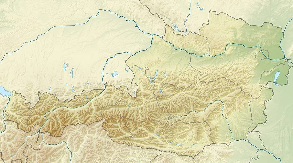 Similaun Location within Austria on the Austrian—Italian border | |
| Location | Tyrol, Austria / South Tyrol Italy |
| Parent range | Ötztal Alps |
| Topo map | BEV OK50 173 |
| Climbing | |
| First ascent | 1833 by Peter Carl Thurwieser or in 1834 by Josef Raffeiner and Theodor Kaserer |
| Easiest route | From the Similaunhütte over the Niederjoch glacier and west ridge |
This article is issued from Wikipedia. The text is licensed under Creative Commons - Attribution - Sharealike. Additional terms may apply for the media files.