Semera Airport
Semera Airport (IATA: SZE, ICAO: HASM) is an airport serving Semera, a city in the Afar Region of Ethiopia.
Semera Airport | |||||||||||
|---|---|---|---|---|---|---|---|---|---|---|---|
| Summary | |||||||||||
| Airport type | Public | ||||||||||
| Owner | Ethiopian Civil Aviation Authority | ||||||||||
| Operator | Ethiopian Airports Enterprise | ||||||||||
| Serves | Semera | ||||||||||
| Elevation AMSL | 1,390 ft / 424 m | ||||||||||
| Coordinates | 11°47′15″N 40°59′30″E | ||||||||||
| Map | |||||||||||
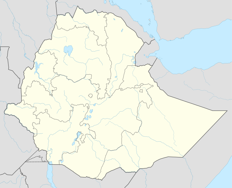
 SZE Location of the airport in Ethiopia | |||||||||||
| Runways | |||||||||||
| |||||||||||
The airport is on the west side of the village. The former gravel runway was paved and a terminal complex added after 2016.[2]
Airlines and destinations
| Airlines | Destinations |
|---|---|
| Ethiopian Airlines[4] | Addis Ababa, Bahir Dar, Gondar, Mekele, Shire |
gollark: *Somehow* I'm now struggling to decide which wordlist to use?
gollark: Perhaps, perhaps.
gollark: But longer.
gollark: Thus, apioform name phone "numbers"?
gollark: Wait, I had an even BETTER idea! The bot already *has* a giant database of wordish things... for the ++apioform command.
References
- Airport information for SZE at Great Circle Mapper.
- Google Maps - Semera
- "Semra Airport". SkyVector. Retrieved 12 March 2019.
- "Domestic Route Map". Ethiopian Airlines.
External links
This article is issued from Wikipedia. The text is licensed under Creative Commons - Attribution - Sharealike. Additional terms may apply for the media files.