San, Mali
San (Bambara: ߛߊߣ tr. San) is an urban commune, town and capital of the Cercle of San in the Ségou Region of Mali. The town lies 10 km south of the Bani River. In the 2009 census the commune had a population of 68,078.
San | |
|---|---|
Commune and town | |
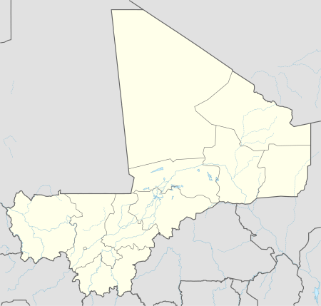 San Location in Mali | |
| Coordinates: 13°18′N 4°54′W | |
| Country | |
| Region | Ségou Region |
| Cercle | San Cercle |
| Area | |
| • Total | 155 km2 (60 sq mi) |
| Elevation | 279 m (915 ft) |
| Population (2009 census)[2] | |
| • Total | 68,078 |
| • Density | 440/km2 (1,100/sq mi) |
| Time zone | UTC+0 (GMT) |
San is the center of bògòlanfini production, a traditional Malian fabric.
Twin towns
San is twinned with:

gollark: I don't think these make much sense to anyone except whoever came up with them; is there even bee dioxide?
gollark: it will be, initiating apiotransference?
gollark: +>inv
gollark: +>eval games.devtest.elements["[REDACTED]"] = 4
gollark: +>eval games.devtest.elements["[REDACTED]"]
References
- Plan de Sécurité Alimentaire Commune Urbaine de San 2007-2011 (PDF) (in French), Commissariat à la Sécurité Alimentaire, République du Mali, USAID-Mali, 2007, archived from the original (PDF) on 2012-09-20.
- Resultats Provisoires RGPH 2009 (Région de Ségou) (PDF) (in French), République de Mali: Institut National de la Statistique.
External links
- Massing, Andreas (1996), Democratisation et decentralisation: Relations entre structures socio-politiques traditionnelles et modernes dans la commune de San (PDF) (in French), Bamako, Mali: République du Mali. Gives the history of the town.

This article is issued from Wikipedia. The text is licensed under Creative Commons - Attribution - Sharealike. Additional terms may apply for the media files.