Salem, Northumberland County
Salem is a Dispersed Rural Community and unincorporated place in the municipal township of Cramahe, Northhumberland County in southern Ontario, Canada.[1][3][4] The community is on Northumberland County Road 2 (formerly Ontario Highway 2) about 4 kilometres (2.5 mi) east of Colborne and 9 kilometres (5.6 mi) west of Brighton.
Salem | |
|---|---|
Dispersed Rural Community | |
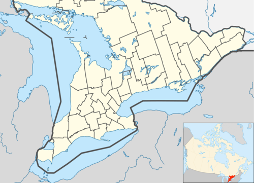 Salem Location in southern Ontario | |
| Coordinates: 44°01′03″N 77°50′20″W[1] | |
| Country | Canada |
| Province | Ontario |
| County | Northumberland |
| Municipality | Cramahe |
| Elevation | 103 m (338 ft) |
| Time zone | UTC-5 (Eastern Time Zone) |
| • Summer (DST) | UTC-4 (Eastern Time Zone) |
| Postal Code | K0K 1S0 |
| Area code(s) | 905, 289, 365 |
The community gives its name to two nearby geographic features: Salem Creek, which flows past the community to Lake Ontario; and Salem Hill, which rises to the north of the community.[5]
References
- "Salem". Geographical Names Data Base. Natural Resources Canada. Retrieved 2017-03-11.
- Elevation taken at geographic coordinates from Google Maps. Accessed 2017-03-11.
- Map 6 (PDF) (Map). 1 : 700,000. Official road map of Ontario. Ministry of Transportation of Ontario. 2016-01-01. Retrieved 2017-03-11.
- Restructured municipalities - Ontario map #5 (Map). Restructuring Maps of Ontario. Ontario Ministry of Municipal Affairs and Housing. 2006. Retrieved 2017-03-11.
- "Salem Hill". Geographical Names Data Base. Natural Resources Canada. Retrieved 2017-03-18.
This article is issued from Wikipedia. The text is licensed under Creative Commons - Attribution - Sharealike. Additional terms may apply for the media files.