Rubanda
Rubanda is a town in the extreme southwest of the Western Region of Uganda. It serves as the commercial, political and administrative center of Rubanda District.[1]
Rubanda | |
|---|---|
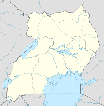 Rubanda Location in Uganda | |
| Coordinates: 01°11′11″S 29°50′36″E | |
| Country | |
| Region | Western Uganda |
| District | Rubanda District |
| Elevation | 6,617 ft (2,017 m) |
Location
Rubanda is located approximately 35 kilometres (22 mi), by road, west of Kabale, the largest city in the Kigezi sub-region.[2] This is approximately 174 kilometres (108 mi), by road, southwest of Mbarara, the largest city in Uganda's Western Region.[3] Rubanda is about 422 kilometres (262 mi), by road, southwest of Kampala, the largest city and capital of Uganda.[4] The town's geographical coordinates are: 01°11'11.0"S, 29°50'36.0"E (Latitude:-1.186389; Longitude:29.843333).[5] The town sits at an elevation of 2,017 metres (6,617 ft), above sea level.[6]
Points of interest
The Kabale–Kisoro–Bunagana Road passes through Rubanda town in a north to south direction.[7]
See also
- Henry Banyenzaki
- George Wilson Kanyeihamba
References
- LCMT (10 August 2017). "Rubanda Is a City in Uganda". Land Conflict Mapping Tool (LCMT). Retrieved 10 August 2017.
- GFC (10 August 2017). "Distance between Kabale, Western Region, Uganda and Rubanda, Western Region, Uganda". Globefeed.com (GFC). Retrieved 10 August 2017.
- GFC (10 August 2017). "Distance between Mbarara, Western Region, Uganda and Rubanda, Western Region, Uganda". Globefeed.com (GFC). Retrieved 10 August 2017.
- GFC (10 August 2017). "Distance between Post Office Building, Kampala Road, Kampala, Uganda and Rubanda, Western Region, Uganda". Globefeed.com (GFC). Retrieved 10 August 2017.
- Google (10 August 2017). "Location of Rubanda, Rubanda District, Western Region, Uganda" (Map). Google Maps. Google. Retrieved 10 August 2017.
- FMN (2014). "Elevation of Rubanda, Uganda". Floodmap.net (FMN). Retrieved 10 August 2017.
- Google (10 August 2017). "Map Showing the Kabale–Kisoro–Bunagana Road Passing Through Rubanda Town]]" (Map). Google Maps. Google. Retrieved 10 August 2017.
External links
Capital: Rubanda | |
| Counties and sub-counties |
|
| Towns and villages |
|
| Geography | |
| Economy | |
| Health |
|
| Notable landmarks | |
| Transport | |
| Notable people |
|