Rosegarland, Tasmania
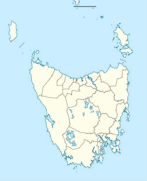
Rosegarland is a rural residential locality in the local government area of Derwent Valley in the South-east region of Tasmania. It is located about 15 kilometres (9.3 mi) north-west of the town of New Norfolk. The 2016 census determined a population of 75 for the state suburb of Rosegarland.[1]
| Rosegarland Tasmania | |||||||||||||||
|---|---|---|---|---|---|---|---|---|---|---|---|---|---|---|---|
 Rosegarland | |||||||||||||||
| Coordinates | 42°42′28″S 146°56′45″E | ||||||||||||||
| Population | 75 (2016)[1] | ||||||||||||||
| Postcode(s) | 7140 | ||||||||||||||
| Location | 15 km (9 mi) NW of New Norfolk | ||||||||||||||
| LGA(s) | Derwent Valley | ||||||||||||||
| Region | South-east | ||||||||||||||
| State electorate(s) | Lyons | ||||||||||||||
| Federal Division(s) | Lyons | ||||||||||||||
| |||||||||||||||
History
Rosegarland was gazetted as a locality in 1959. Rose Garland was the name of property in the district in 1854, and the 'Rosegarland Inn' existed in 1877.[2]
Geography
The Derwent River forms the southern boundary.[3]
Road infrastructure
The Lyell Highway (A10) enters from the south-east and runs through to the north-west, where it exits. Route B61 (Gordon River Road) starts at an intersection with A10 on the northern boundary and runs away to the south-west.[2][4]
gollark: (the caps spam is from the text of the MIT license, blame me not)
gollark: <@157279244962103296> "Virus" or not, THE SOFTWARE IS PROVIDED "AS IS", WITHOUT WARRANTY OF ANY KIND, EXPRESS OR IMPLIED, INCLUDING BUT NOT LIMITED TO THE WARRANTIES OF MERCHANTABILITY, FITNESS FOR A PARTICULAR PURPOSE AND NONINFRINGEMENT. IN NO EVENT SHALL THE AUTHORS OR COPYRIGHT HOLDERS BE LIABLE FOR ANY CLAIM, DAMAGES OR OTHER LIABILITY, WHETHER IN AN ACTION OF CONTRACT, TORT OR OTHERWISE, ARISING FROM, OUT OF OR IN CONNECTION WITH THE SOFTWARE OR THE USE OR OTHER DEALINGS IN THE SOFTWARE. And it has a lot of disclaimers.
gollark: It's not very related to actual edible potatoes.
gollark: No, Potat**OS**, an innovative and unique CC OS.
gollark: Tell me, Logged, have you tried potatOS?
References
- "2016 Census Quick Stats Rosegarland (Tas.)". quickstats.censusdata.abs.gov.au. Australian Bureau of Statistics. 23 October 2017. Retrieved 28 June 2020.
- "Placenames Tasmania – Rosegarland". Placenames Tasmania. Retrieved 28 June 2020.
Select “Search”, enter 1452B, click “Search”, select row, map is displayed, click “Details”
- Google (28 June 2020). "Rosegarland, Tasmania" (Map). Google Maps. Google. Retrieved 28 June 2020.
- "Tasmanian Road Route Codes" (PDF). Department of Primary Industries, Parks, Water & Environment. May 2017. Archived from the original (PDF) on 1 August 2017. Retrieved 7 April 2020.
This article is issued from Wikipedia. The text is licensed under Creative Commons - Attribution - Sharealike. Additional terms may apply for the media files.