Roque del Oeste
Roque del Oeste (pronounced [ˈroke ðel oˈeste]; Spanish for "rock of the west"), also referred to as Roque del Infierno, is an uninhabited islet located 0.6 km northeast of the island of Montaña Clara, in the northeastern-most part of the Canary Islands, the Chinijo Archipelago. The highest point of the island is 41 m above sea level. The island is part of the nature reserve Los Islotes, which is part of the natural park Chinijo Archipelago.[1][2]
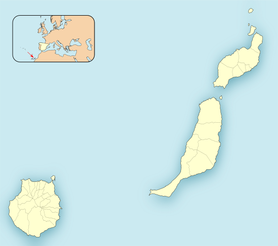
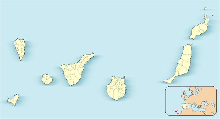
 Roque del Oeste Location in the province of Las Palmas  Roque del Oeste Roque del Oeste (Canary Islands)  Roque del Oeste Roque del Oeste (Spain, Canary Islands) | |
| Geography | |
|---|---|
| Archipelago | Chinijo Archipelago |
| Area | 0.02 km2 (0.0077 sq mi) |
| Highest elevation | 41 m (135 ft) |
| Administration | |
| Autonomous Community | Canary Islands |
| Province | Las Palmas |
| Municipality | Teguise |
| Demographics | |
| Population | 0 (2013) |
See also
References
- Protected Natural Areas Archived 2010-02-12 at the Wayback Machine
- Boletín Oficial de Canarias, pages 9723 and 9865-7
This article is issued from Wikipedia. The text is licensed under Creative Commons - Attribution - Sharealike. Additional terms may apply for the media files.
