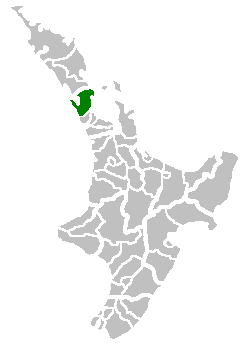
Rodney District
Rodney District was a local government area in the northernmost part of New Zealand's Auckland Region from 1989 to 2010. It included Kawau Island. It was created from the amalgamation of Helensville Borough and Rodney County in 1989. The seat of Rodney District Council was at Orewa. Rodney District and Rodney County each took their names from Cape Rodney (opposite Little Barrier Island), which Captain James Cook named on 24 November 1769 after Admiral Sir George Brydges Rodney.[1]
Rodney District | |
|---|---|
Former local government area | |
 | |
 Rodney District | |
| Coordinates: 36.539°S 174.528°E | |
| Country | New Zealand |
| Island | North Island |
| Region | Auckland Region |
| Area | |
| • Land | 2,427.01 km2 (937.07 sq mi) |
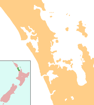
| Extent | Muriwai to Hibiscus Coast; south to Helensville |
Auckland Council has governed the area since 1 November 2010. The Rodney ward of the Auckland Region now covers much of the land area, but not the Hibiscus Coast or the former council seat of Orewa, which are in the Albany ward.
The district was, in the final electoral term (2007–2010) of its existence, led by mayor Penny Webster and 12 councillors.
Mayors
During its 21-year existence, Rodney District had four mayors:[2]
| Name | Term | |
|---|---|---|
| 1 | Gordon Mason | 1989–1992 |
| 2 | Doug Armstrong | 1992–2000 |
| 3 | John Law | 2001–2007 |
| 4 | Penny Webster | 2007–2010 |
References
-
Reed, A. W. (2002). Dowling, Peter (ed.). The Reed dictionary of New Zealand place names. Auckland: Reed Books. p. 439. ISBN 0-790-00761-4.
Rodney, Cape [...], opposite Little Barrier Island. Named on 24 November 1769 by Captain Cook, after Admiral Sir George Bridges Rodney. Rodney District: Rodney County: the administrative areas took their name from the cape (see Rodney, Cape).
- "Timeline of Auckland mayors". Auckland Council Archives. Retrieved 28 July 2019.
External links
| Wikimedia Commons has media related to Rodney District. |