Rionegro, Santander
Rionegro (Spanish pronunciation: [rioˈneɣɾo]) is a town and municipality in the department of Santander in northeastern Colombia. The urban centre of Rionegro is located at an altitude of 590 metres (1,940 ft) in the Eastern Ranges of the Colombian Andes, 20 kilometres (12 mi) north of the departmental capital Bucaramanga. The municipality is named after the Río Negro.[1]
Rionegro | |
|---|---|
Municipality and town | |
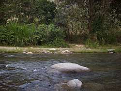 Río Negro in Rionegro | |
.svg.png) Flag | |
| Etymology: Río Negro | |
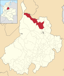 Location of Rionegro in Santander | |
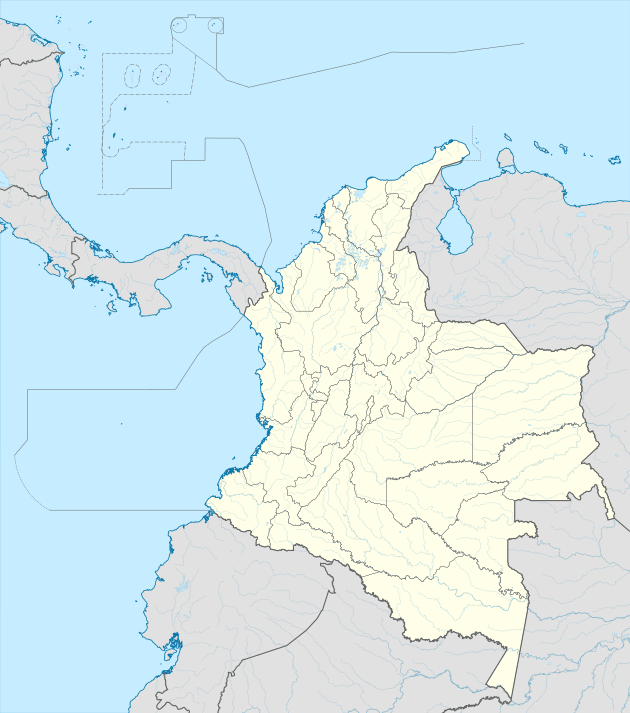 Rionegro Location of Rionegro in Colombia | |
| Coordinates: 7.15361°N 73.1536°W | |
| Country | |
| Department | Santander |
| Founded | 5 May 1805 |
| Government | |
| • Mayor | Wilson Vicente Gonzalez Reyes (2016-2019) |
| Area | |
| • Total | 1,064 km2 (411 sq mi) |
| Elevation | 590 m (1,940 ft) |
| Population (2015) | |
| • Total | 27,114 |
| • Density | 25/km2 (66/sq mi) |
| Time zone | UTC-5 (Colombia Standard Time) |
| Website | Official website |
Gallery
 Río Negro in Rionegro
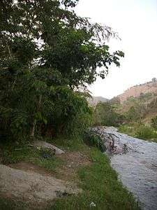
gollark: They were controlled over SPUDNET, so you could feed in targeting data from radars or dynmap.
gollark: Just turtles with lasers which were quite high up, so not very orbital.
gollark: You probably do need to know your actual coordinates to navigate if there's an obstruction or something.
gollark: Also, it being a "set cord" doesn't mean you can magically avoid complex navigation things, although I suppose if you don't need it to come back you can probably just... feed it coords relative to its start position, or something.
gollark: Yes. The docs are awful because ~~OC bad~~.
References
| Wikimedia Commons has media related to Rionegro, Santander. |
- (in Spanish) Official website Rionegro
This article is issued from Wikipedia. The text is licensed under Creative Commons - Attribution - Sharealike. Additional terms may apply for the media files.