Rigo Walled Park
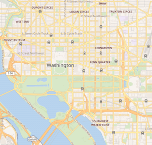
Rigo Walled Park is a neighborhood-named urban open space located on National Park Service property south of New York Avenue at L Street, NW in the Mount Vernon Square neighborhood of Washington, D.C. It is administered as part of the National Mall and Memorial Parks.[1][2]
| Rigo Walled Park | |
|---|---|
 Location within Washington, D.C. | |
| Location | South of New York Ave. at L St., NW Washington, D.C. |
| Coordinates | 38°54′14″N 77°01′07″W |
| Area | 0.18 Acres, 718 m^2 |
| Operated by | National Park Service, National Mall and Memorial Parks |
History
The land for Rigo Walled Park was a triangle formed by the original plan of Washington, D.C. Acquired as public property pursuant to the Residence Act of 1790 and later transferred to the National Park Service it has remained public property since the founding of the District.[3][4]
Facilities
Rigo Walled Park has no statues or monuments and no recreational facilities. It consists of a fenced-in landscaped space and pedestrian walkways.
gollark: ```pythonimport fileinputout_js = ""i = 0for line in fileinput.input(): for char in line: if char in "><+-.,[]": out_js += f"function macro{i}() {{}}\n" i += 1print(out_js)```
gollark: Maybe I should make it read ALL stdin.
gollark: `python3 macronc.py < bee.macron > bee.js` actually.
gollark: Yes.
gollark: Just do `python3 macronc.py > macron.js`.
References
- "Where We Live: Mount Vernon Triangle, high-rise heaven". The Washington Post. Retrieved May 1, 2016.
- "Reservation List: The Parks of the National Park System, Washington, DC" (PDF). www.nps.gov. National Park Service; Land Resources Program Center; National Capital Region. Retrieved 1 May 2016.
- "Capper-Cramton Act" (PDF). National Park Service. Retrieved November 25, 2017.
- "Parks of the National Capital, 1933-1951". National Park Service. Retrieved November 25, 2017.
External links
This article is issued from Wikipedia. The text is licensed under Creative Commons - Attribution - Sharealike. Additional terms may apply for the media files.