Relizane Airport
Relizane Airport (ICAO: DAAZ) is a civilian airport in Algeria, located 12.5 kilometres (7.8 mi) west-northwest of Zemmora (Relizane); about 235 kilometres (146 mi) west-southwest of Algiers. It is used by general aviation, with no scheduled commercial air service.
Relizane Airport | |||||||||||
|---|---|---|---|---|---|---|---|---|---|---|---|
| Summary | |||||||||||
| Airport type | Public | ||||||||||
| Location | Algeria | ||||||||||
| Elevation AMSL | 282 ft / 86 m | ||||||||||
| Coordinates | 35°45′10″N 000°37′30″E | ||||||||||
| Map | |||||||||||
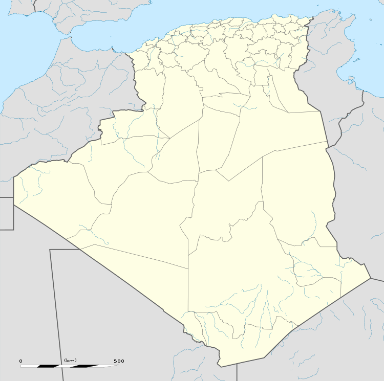 Relizane Airport | |||||||||||
| Runways | |||||||||||
| |||||||||||
World War II
During World War II, it was a major Twelfth Air Force base of operations during the North African Campaign against the German Afrika Korps, used by the 60th Troop Carrier Group, flying C-47 Skytrain aircraft from the field between 27 November 1942 and May 1943.
gollark: I assume `len` is doing codepoints, characters are hard.
gollark: Even encoding languages and stuff will drag in politics.
gollark: What? No, that's ridiculous.
gollark: I don't think this has much of an effect generally, as most stuff counts by codepoints (which is wrong in some ways but OH WELL) and it's the same amount of those either way.
gollark: Fun!
References
![]()
- Maurer, Maurer. Air Force Combat Units of World War II. Maxwell AFB, Alabama: Office of Air Force History, 1983. ISBN 0-89201-092-4.
External links
- Airport information for DAAZ at Great Circle Mapper.
- Current weather for DAAZ at NOAA/NWS
- OurAirports - Relizane
This article is issued from Wikipedia. The text is licensed under Creative Commons - Attribution - Sharealike. Additional terms may apply for the media files.