Reksteren
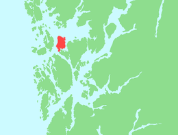
Reksteren is an island in the municipality of Tysnes in Vestland county, Norway. The island covers an area of 37.2 square kilometres (14.4 sq mi). Its highest point is the 336-metre (1,102 ft) tall Bjørnkletten. The island lies northwest of the larger island of Tysnesøy. The small Bårdsundet strait separates the two islands and there is a road bridge connecting the two islands. The Langenuen strait runs along the west side of the island and the Bjørnafjorden lies along the north side of the island.[1] The village of Gjøvåg lies along the western coast of the island and Reksteren Church is located along the eastern shore.
View of the island from Gjøvågsvarden, looking north | |
 | |
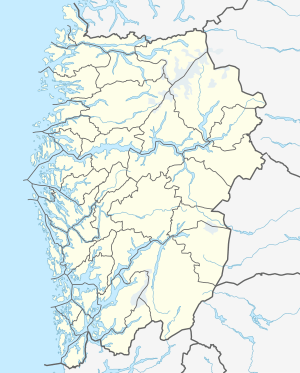
 Reksteren Location of the island  Reksteren Reksteren (Norway) | |
| Geography | |
|---|---|
| Location | Vestland, Norway |
| Coordinates | 60.0384°N 5.3929°E |
| Area | 37.2 km2 (14.4 sq mi) |
| Length | 10 km (6 mi) |
| Width | 5.6 km (3.48 mi) |
| Highest elevation | 336 m (1,102 ft) |
| Highest point | Bjørnkletten |
| Administration | |
Norway | |
| County | Vestland |
| Municipality | Tysnes Municipality |
See also
References
- "Reksteren". Store norske leksikon (in Norwegian). Oslo: Kunnskapsforlaget. Retrieved 28 September 2011.
This article is issued from Wikipedia. The text is licensed under Creative Commons - Attribution - Sharealike. Additional terms may apply for the media files.