Rathipally
Rathipally | |
|---|---|
village | |
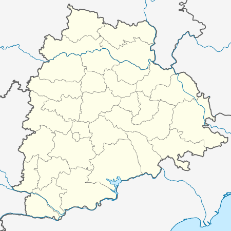 Rathipally Location in Telangana, India | |
| Coordinates: 17.0600°N 79.3°E | |
| Country | |
| State | Telangana |
| District | Nalgonda |
| Elevation | 17.0700 m (56.0039 ft) |
| Languages | |
| • Official | Telugu |
| Time zone | UTC+5:30 (IST) |
| PIN | 508001 |
| Telephone code | 08682 |
| Vehicle registration | AP |
About this village
Rathipally is a village and a Gram panchayat of Nalgonda mandal, Nalgonda district, in Telangana state. [1]
gollark: It is written in Rust, though.
gollark: Thus, help?
gollark: Alternatively, I can just make the adding-to-nickname-mapping bit happen at exactly the same time as the checking-if-nickname-exists bit but that would be really annoying.
gollark: Another would be very aggressive locking or something.
gollark: One possible way to fix this would be to have a central "broker" task which receives all state-updating commands ever and maintains stateful state, but this would be annoying too unless I can give everything else read access to it, and actually getting responses back would probably be irritating.
References
- "Archived copy". Archived from the original on 21 July 2011. Retrieved 2 April 2010.CS1 maint: archived copy as title (link)
This article is issued from Wikipedia. The text is licensed under Creative Commons - Attribution - Sharealike. Additional terms may apply for the media files.