Rashfield
Rashfield; is a hamlet on the Cowal peninsula, situated between Loch Eck and the head of Holy Loch, in Argyll and Bute, West of Scotland. The hamlet is on the A815 road and the River Eachaig flows pass from Loch Eck to the Holy Loch. Rashfield is within the Argyll Forest Park which is itself within the Loch Lomond and The Trossachs National Park.[1][2]
| Rashfield | |
|---|---|
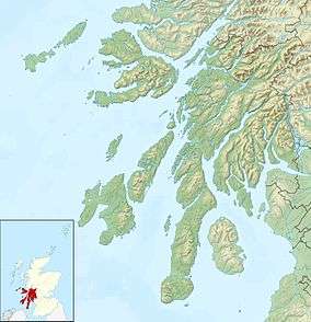 Rashfield Location within Argyll and Bute | |
| OS grid reference | NS 14730 83554 |
| Council area |
|
| Lieutenancy area |
|
| Country | Scotland |
| Sovereign state | United Kingdom |
| Post town | DUNOON, ARGYLL |
| Postcode district | PA23 |
| Dialling code | 01369 |
| UK Parliament |
|
| Scottish Parliament |
|
Rashfield Primary School
Rashfield Primary School was closed in 1997. Pupils now travel either to Sandbank Primary or Strone Primary.[3]
gollark: Plausibly.
gollark: Isn't the protocol not open?
gollark: The equivalence is confusing and therefore equivalent.
gollark: All technical-sounding components are confusing and therefore equivalent.
gollark: https://media.discordapp.net/attachments/888212257253761064/973680191647912016/unknown-25.png
References
- "Argyll Forest Park - Forestry Commission Scotland". Scotland.forestry.gov.uk. Retrieved 4 February 2017.
- "The Scottish Parliament: - Parliamentary Questions & Answers - 2005". Archive.scottish.parliament.uk. Retrieved 4 February 2017.
External links
- Map sources for Rashfield
- Argyll Forest Park - website
- Loch Lomond and The Trossachs National Park - website
This article is issued from Wikipedia. The text is licensed under Creative Commons - Attribution - Sharealike. Additional terms may apply for the media files.