Radenbeck (Wittingen)
Radenbeck is a village in the borough of Wittingen in the district of Gifhorn in the north German state of Lower Saxony.
Radenbeck | |
|---|---|
Subdivision of Wittingen | |
 Coat of arms | |
Location of Radenbeck %26groups%3D_75d87926a8d25ffeea2d56fdf24f4869fdb9c8c9.svg)
| |
 Radenbeck 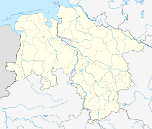 Radenbeck | |
| Coordinates: 52°38′49″N 10°51′56″E | |
| Country | Germany |
| State | Lower Saxony |
| District | Gifhorn |
| Town | Wittingen |
| Area | |
| • Total | 13.65 km2 (5.27 sq mi) |
| Elevation | 75 m (246 ft) |
| Population (2010-06-30) | |
| • Total | 611 |
| • Density | 45/km2 (120/sq mi) |
| Time zone | CET/CEST (UTC+1/+2) |
| Postal codes | 29378 |
| Dialling codes | 05836 |
Location
Radenbeck lies 13 kilometres southeast of the town of Wittingen and, like it, on the B 244 federal road.
The parish extends from the River Ohre to the east, a tributary of the Elbe, it rises towards the west, and is on a gentle, northeast facing slope. The state border with Saxony-Anhalt runs along the Ohre 1.1 kilometres away.
Sources
- Edeltraud Hundertmark: Der Landkreis Gifhorn, II. Gemeindebeschreibungen mit statistischem Anhang. Teil 2: Mahrenholz bis Zicherie. (Die Deutschen Landkreise. Handbuch für Verwaltung, Wirtschaft und Kultur. Reihe D: Die Landkreise in Niedersachsen Bd. 26, II), pp. 587–592.
gollark: Or the Lua and Python bytecodoids.
gollark: Such as WebAssembly.
gollark: It's binary-ish (as opposed to textual) code for some arbitrary virtual machine.
gollark: Machine code.
gollark: x86 is not considered bytecode.
This article is issued from Wikipedia. The text is licensed under Creative Commons - Attribution - Sharealike. Additional terms may apply for the media files.