Punakaiki
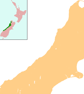
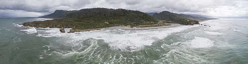
Punakaiki is a small community on the West Coast of the South Island of New Zealand, between Westport and Greymouth. The community lies on the edge of the Paparoa National Park.
Punakaiki | |
|---|---|
 Punakaiki | |
| Coordinates: 42°6′30″S 171°20′10″E | |
| Country | New Zealand |
| Region | West Coast |
| District | Buller District |
The Pancake Rocks are a very popular tourist destination at Dolomite Point south of the main village. The Pancake Rocks are a heavily eroded limestone area where the sea bursts through several vertical blowholes during high tides. Together with the 'pancake'-layering of the limestone (created by immense pressure on alternating hard and soft layers of marine creatures and plant sediments),[1] these form the main attraction of the area.
The Pancake Rocks are presently explorable by a number of walkways winding through the rock formations, parts of these wheelchair-accessible and others carved into stairways up and down the rock faces.[1] State Highway 6, the only through road on the West Coast, passes through the town.
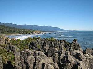 Looking south from the pancake rocks
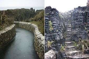 Walkways around the pancake rocks area
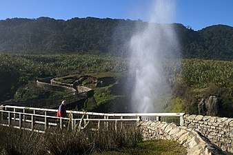 Walkway and blowhole
References
- Punakaiki Pancake Rocks and Blowholes (from the New Zealand Department of Conservation website)
External links
| Wikivoyage has a travel guide for Punakaiki. |

- Punakaiki - West Coast, New Zealand (tourism information from the Punakaiki Promotions Group)
- Limestone, Punakaiki (1st of 3) (entry on Te Ara: The Encyclopedia of New Zealand)