Porvenir, Uruguay
Porvenir or Pueblo Porvenir is a village in the Paysandú Department of western Uruguay.
Porvenir Pueblo Porvenir | |
|---|---|
Village | |
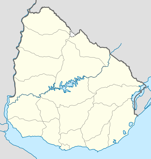 Porvenir Location in Uruguay | |
| Coordinates: 32°23′38″S 57°58′4″W | |
| Country | |
| Department | Paysandú Department |
| Population (2011) | |
| • Total | 1,159 |
| Time zone | UTC -3 |
| Postal code | 60012 |
| Dial plan | +598 472 (+5 digits) |
Location
It is located south of Route 90 and northeast of Route 3, about 14 kilometres (8.7 mi) from the department capital city of Paysandú. It is an enclave within the populated rural area known as Chacras de Paysandú (Ranches of Paysandú), which is peripheral to the city.
History
On 17 July 1903, it was declared a "Pueblo" (village) named "Colonia Porvenir" by the Act of Ley Nº 2.855.[1]
Population
In 2011 Porvenir had a population of 1,159.[2]
| Year | Population |
|---|---|
| 1908 | 2,211 |
| 1963 | 558 |
| 1975 | 710 |
| 1985 | 734 |
| 1996 | 862 |
| 2004 | 1,035 |
| 2011 | 1,159 |
Source: Instituto Nacional de Estadística de Uruguay[1]
gollark: Use Arch with i3 or sway. Obviously.
gollark: Terra: wrong answer.
gollark: You could just switch to Haiku.
gollark: I run a Windows VM so that I can use the WSL to run Wine to run Putty.
gollark: I should just replace Terrariola as the theoretically-admin.
References
- "Statistics of urban localities (1908–2004)" (PDF). INE. 2012. Retrieved 4 September 2012.
- "Censos 2011 Cuadros Paysandú". INE. 2012. Retrieved 25 August 2012.
External links
Capital: Paysandú | ||
| Towns and villages |  | |
| Sights | ||
This article is issued from Wikipedia. The text is licensed under Creative Commons - Attribution - Sharealike. Additional terms may apply for the media files.