Poplar Rapids River
The Poplar Rapids River is a river in the municipality of Fauquier-Strickland and Unorganized North Cochrane District, Cochrane District in Northeastern Ontario, Canada.[1][3][4][5][6][7] It is in the James Bay drainage basin and is a left tributary of the Mattagami River.
| Poplar Rapids River | |
|---|---|
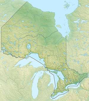 Location of the mouth of the river in Ontario | |
| Location | |
| Country | Canada |
| Province | Ontario |
| Region | Northeastern Ontario |
| District | Cochrane |
| Part or municipality | Unorganized North Cochrane District, Fauquier-Strickland |
| Physical characteristics | |
| Source | Unnamed woods |
| • location | Ford Township |
| • coordinates | 48°59′27″N 81°52′11″W[1] |
| • elevation | 292 m (958 ft)[2] |
| Mouth | Mattagami River |
• location | Hurdman Township |
• coordinates | 49°34′45″N 81°47′50″W[3] |
• elevation | 209 m (686 ft)[2] |
| Basin features | |
| River system | James Bay drainage basin |
Course
The creek begins at an unnamed woods in geographic Ford Township in Unorganized North Cochrane District and flows north, passes into and out of the municipality of Fauquier-Strickland twice, taking in the left tributary Sydere Creek there, and reaches the south shore of Departure Lake, exiting the lake at the north and continuing north. It takes in the right tributary Haggart Creek, passes under Ontario Highway 11 and the Ontario Northland Railway at the community of Departure Lake, flows through Ouellet Lake, and reaches its mouth at the Mattagami River in geographic Hurdman Township. The Mattagami River flows via the Moose River to James Bay.[1][3][4][5]
Tributaries
- Alex Creek (right)
- Shackleton Creek (left)
- Moonbeam Creek (left)
- Haggart Creek (right)
- Sydere Creek (right)
References
- "Toporama (on-line map and search)". Atlas of Canada. Natural Resources Canada. Retrieved 2018-08-21.
- "Google Earth". Retrieved 2018-08-21.
- "Poplar Rapids River". Geographical Names Data Base. Natural Resources Canada. Retrieved 2018-08-21.
- "CLAIMaps IV". Ontario Ministry of Northern Development and Mines. 2016. Retrieved 2018-08-18.
- "Ontario Geonames GIS (on-line map and search)". Ontario Ministry of Natural Resources and Forestry. 2014. Retrieved 2018-08-21.
- Map 14 (PDF) (Map). 1 : 1,600,000. Official road map of Ontario. Ministry of Transportation of Ontario. 2016-01-01. Retrieved 2018-08-21.
- Restructured municipalities - Ontario map #3 (Map). Restructuring Maps of Ontario. Ontario Ministry of Municipal Affairs and Housing. 2006. Retrieved 2018-08-21.