Haggart Creek (Cochrane District)
Haggart Creek is a creek in geographic Haggart Township, Cochrane District in Northeastern Ontario, Canada.[3][1][4][5][6] It is in the James Bay drainage basin and is a right tributary of the Poplar Rapids River.
| Haggart Creek | |
|---|---|
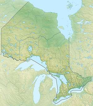 Location of the mouth of the creek in Ontario | |
| Location | |
| Country | Canada |
| Province | Ontario |
| Region | Northeastern Ontario |
| District | Cochrane |
| Geographic township | Haggart Township |
| Physical characteristics | |
| Source | Unnamed woods |
| • coordinates | 49°13′02″N 81°43′24″W[1] |
| • elevation | 244 m (801 ft)[2] |
| Mouth | Poplar Rapids River |
• location | Departure Lake |
• coordinates | 49°17′01″N 81°46′45″W[3] |
• elevation | 225 m (738 ft)[2] |
| Basin features | |
| River system | James Bay drainage basin |
Course
The creek begins at an unnamed woods and flows north to the south shore of Haggart Lake, exiting the lake at the north and continuing north. It passes through two unnamed lakes, then turns west, paralleled by Ontario Highway 11 and the Ontario Northland Railway to the north, and reaches its mouth at the Poplar Rapids River, southeast of the community of Departure Lake. The Poplar Rapids River flows via the Mattagami River and the Moose River to James Bay.[3][1][4]
gollark: Internet connections are *not* very good here outside of London, on the whole.
gollark: The UK.
gollark: So often I download files, but they download somewhat more slowly than I'd like.
gollark: 100/100 at least.
gollark: I'd like it if it was reasonably cheap.
References
- "Toporama". Atlas of Canada. Natural Resources Canada. Retrieved 2018-08-18.
- "Google Earth". Retrieved 2018-08-18.
- "Haggart Creek". Geographical Names Data Base. Natural Resources Canada. Retrieved 2018-08-18.
- "CLAIMaps IV". Ontario Ministry of Northern Development and Mines. 2016. Retrieved 2018-08-18.
- Map 14 (PDF) (Map). 1 : 1,600,000. Official road map of Ontario. Ministry of Transportation of Ontario. 2016-01-01. Retrieved 2018-08-18.
- Restructured municipalities - Ontario map #3 (Map). Restructuring Maps of Ontario. Ontario Ministry of Municipal Affairs and Housing. 2006. Retrieved 2018-08-18.
This article is issued from Wikipedia. The text is licensed under Creative Commons - Attribution - Sharealike. Additional terms may apply for the media files.