Pony, Montana
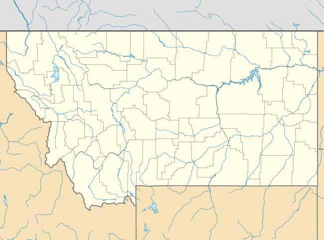
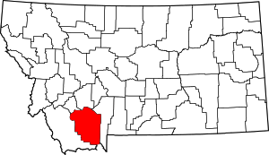
Pony is an unincorporated community in northeastern Madison County, Montana, United States on the eastern edge of the Tobacco Root Mountains. It includes the 192-acre (78 ha) Pony Historic District, a historic district with 95 contributing buildings listed on the National Register of Historic Places.[2][3][4]
Pony | |
|---|---|
Unincorporated area | |
Pony, Montana | |
| Coordinates: 45°39′31″N 111°53′40″W[1] | |
| Website | www |
Pony Historic District | |
  | |
| Location | Town of Pony, SW of Harrison, Pony, Montana |
|---|---|
| Area | 192 acres (78 ha) |
| Architect | Patterson, H.M.; Et al. |
| Architectural style | Queen Anne, other |
| MPS | Pony MRA |
| NRHP reference No. | 87001264[2] |
| Added to NRHP | August 4, 1987 |
The town gained its name from the nickname of one of its early miners, Tecumseth Smith, a small man nicknamed "Pony" because of his diminutive size.[5][6]
Settled in the 1860s, in the late nineteenth century, Pony was a prosperous gold-mining community with at least 5,000 residents. Mining operations declined in the early 20th century and all were closed by 1922.[5]
A number of historic buildings from Pony's boom era remain in the old town today. Major buildings are managed, voluntarily, by The Pony Homecoming Club, a non-profit organization that maintains the town's public spaces.[7]
Former Montana Lieutenant Gov. Karl Ohs owned a ranch in Pony.
Notes
- "Pony, Montana". Geographic Names Information System. United States Geological Survey.
- "National Register Information System". National Register of Historic Places. National Park Service. July 9, 2010.
- Mark T. Fiege (November 1985). "National Register of Historic Places Inventory/Nomination: Pony Historic District". National Park Service. Retrieved December 30, 2016. with 35 photos from 1985
- Mark T. Fiege (November 1985). "National Register of Historic Places Inventory/Nomination: Historic Resources of Pony, Montana". Retrieved December 30, 2016.
- "Pony, Montana". ghosttowns.com. Retrieved April 17, 2016.
- "Pony, Montana". Travel Montana. Retrieved April 17, 2016.
- "Pony, Montana". Pony Homecoming Club. Retrieved Feb 7, 2019.
"
