Pogorzela
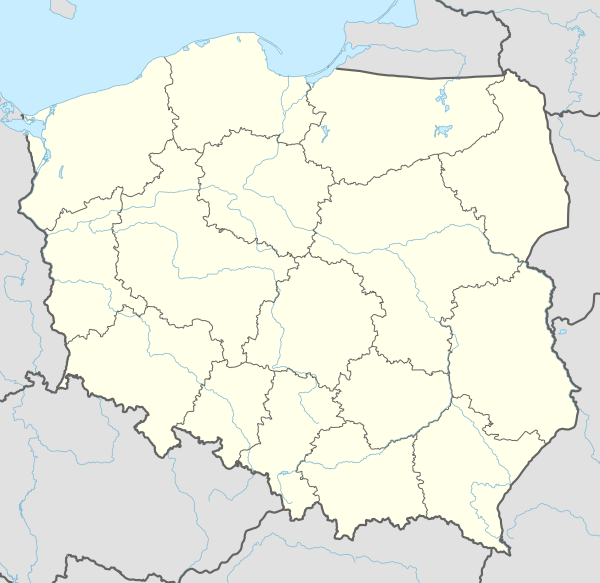
Pogorzela [pɔɡɔˈʐɛla] (German: Brandenstein) is a town in Gostyń County, Greater Poland Voivodeship, Poland, with 1,958 inhabitants (as of 2004). Pogorzela is located on the western edge of the Kalisz Upland, at the junction of county roads Krotoszyn-Gostyń and the Koźmin-Krobia.
Pogorzela | |
|---|---|
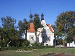 Saint Michael the Archangel Church | |
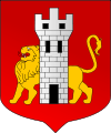 Coat of arms | |
 Pogorzela | |
| Coordinates: 51°49′15″N 17°14′5″E | |
| Country | |
| Voivodeship | Greater Poland |
| County | Gostyń |
| Gmina | Pogorzela |
| Area | |
| • Total | 4.34 km2 (1.68 sq mi) |
| Population (2006) | |
| • Total | 1,974 |
| • Density | 450/km2 (1,200/sq mi) |
| Postal code | 63–860 |
| Website | http://www.pogorzela.pl |
History
Pogorzela is first mentioned in the early 15th century when the town was owned by Wczelów-Pogorzelskich. In the 16th century the town became a center of Lutheranism, and in the 18th century became a centre of light industries.
In 1999 Pogorzela was administratively moved from Krotoszyn County to Gostyń County.
Landmarks
- Pogorzela Town Hall
- Late-Baroque church, built between 1778–1785
- Ratusz Memorial in honor of the victims of the Nazi occupation of Poland.
- Tyszkiewicz Palace,
- The Château Park, now a City Park,
- Windmill of 1870.
- Cemetery
- Former synagogue gutted during World War II
| Wikimedia Commons has media related to Pogorzela. |
| Town and seat | | |
|---|---|---|
| Villages | ||
gollark: The same Discord account.
gollark: Two computers, I mean.
gollark: You *can* use the same account on two...
gollark: That imports the `component` library (by loading it and binding it to `component`) and binds the redstone component to `redstone`.
gollark: You need to stick```lualocal component = require "component"local redstone = component.redstone```in.
This article is issued from Wikipedia. The text is licensed under Creative Commons - Attribution - Sharealike. Additional terms may apply for the media files.