Podolian Upland
The Podolian Upland (Podolian Plateau) or Podillia Upland (Ukrainian: подільська височина, podilska vysochyna) is a big in terms of area upland in southwestern Ukraine on the left bank of Dniester, with its small northwestern part stretching into eastern Poland.
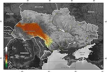

Along Dniester, the region stretches from northwest of Western Bug to southeast Boh (or Southern Bug). Western Bug separates it from Lublin Upland, while Southern Bug – Dnieper Upland. Average height of the Podolian Upland is over 300 m (980 ft) with the maximum being a hill known as Kamula Mountain 471 m (1,545 ft).
The surface is characterized by combination of wide flat interfluves and deep canyon-like valleys (so called dales) dissected into separate natural sub-regions.
- Wooded heightened hills
- Flat treeless plateaus
- Ternopil Plateau
- Upper Bug Plateau
- North-Podolian Plateau
The Podolian Upland and the Volhynian Upland are sometimes grouped together as the Volhynian-Podolian Upland.
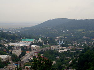
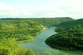
Gallery
 Podolian Tovtry
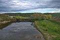
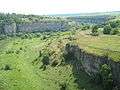 Smotrych Canyon (Tovtry)
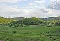 Great Hovda Hill
See also
External links
- Podolian Upland at the Encyclopedia of Ukraine.
- Herenchuk, K.I. Podolian Upland. Ukrainian Soviet Encyclopedia
- Shabliy, O.I., Mukha, B.P., Huryn, A.V., Zinkevych, M.V. Lviv Oblast relief. Podolian Upland (Рельєф Львівської області. Подільська височина). "Geography: Lviv Oblast".