Pobershau
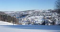
Pobershau is a former municipality in the district Erzgebirgskreis, in Saxony, Germany. With effect from 1 January 2012, it has been incorporated into the town of Marienberg.[1]
Pobershau | |
|---|---|
Ortsteil of Marienberg | |
 Pobershau | |
 Coat of arms | |
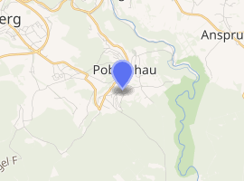
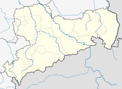
Location of Pobershau 
| |
 Pobershau  Pobershau | |
| Coordinates: 50°38′N 13°13′E | |
| Country | Germany |
| State | Saxony |
| District | Erzgebirgskreis |
| Town | Marienberg |
| Subdivisions | 2 |
| Area | |
| • Total | 5.41 km2 (2.09 sq mi) |
| Elevation | 550 m (1,800 ft) |
| Population (2010-12-31) | |
| • Total | 2,014 |
| • Density | 370/km2 (960/sq mi) |
| Time zone | CET/CEST (UTC+1/+2) |
| Postal codes | 09496 |
| Dialling codes | 03735 |
| Vehicle registration | ERZ |
| Website | www.pobershau.de |
Geography
Pobershau lies in the valley of the Red Pockau, a tributary of the Black Pockau. The hamlet of Rittersberg lies north of the main village on the left slopes of the Red Pockau. The hamlet of Hinterer Grund lie east of the village rather remotely in the valley of the Black Pockau. The highest point in Pobershaus lies at 700.5 m above NHN near the Katzensteine mountain. The lowest point is at 500 m above NHN in the Kniebreche, the area around the confluence of the Red and Black Pockau.
Subdivisions
The municipality is divided into:
- Pobershau
- Rittersberg
gollark: It's all public and (not that well, to be honest) commeted.
gollark: MIT-licensed, you can fork it.
gollark: Look, the main code is all right here, other stuff is... well, it's spread across a lot of files, but you can see it, check the `local files = whatever` bit and my pastebin account.
gollark: https://pastebin.com/RM13UGFa
gollark: I'm not saying much about the *other* exploit, because that would provide clues about it.
This article is issued from Wikipedia. The text is licensed under Creative Commons - Attribution - Sharealike. Additional terms may apply for the media files.