Pleasant Hill, Northampton County, North Carolina
Pleasant Hill is an unincorporated community in northwestern Northampton County, North Carolina, United States. The community is on U.S. Route 301, north of Weldon, and lies at an elevation of 125 feet (38 m).[1]
Pleasant Hill, North Carolina | |
|---|---|
Unincorporated community | |
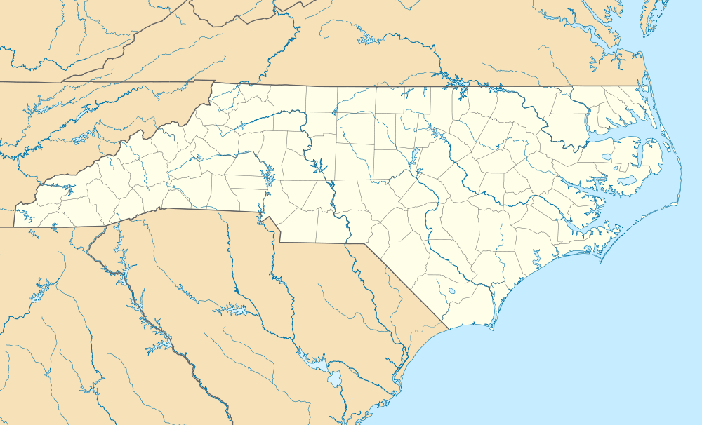 Location of Pleasant Hill in North Carolina  Pleasant Hill, Northampton County, North Carolina (the United States) | |
| Coordinates: 36°31′56″N 77°32′08″W | |
| Country | United States |
| State | North Carolina |
| County | Northampton |
| Elevation | 125 ft (38 m) |
| Time zone | UTC-5 (Eastern (EST)) |
| • Summer (DST) | UTC-4 (EDT) |
| ZIP code | 27866 |
| Area code(s) | 252 |
| FIPS code | 37-37131 |
| GNIS feature ID | 992510[1] |
| [2] | |
The people of the area were free blacks which married into the Haliwa Saponis creating a distinctive Native American tribe; which now has 4000 surviving members. The majority Haliwa Saponis live in the Halifax county area of NC. In Pleasant Hill the Broady family members tied to Chief Mountain are the only Haliwa Saponis in the Pleasant Hill area. In 1848, Pleasant Hill was a stop on the Petersburg Railroad, and is part of the Roanoke Rapids, North Carolina Micropolitan Statistical Area.
References
- "Pleasant Hill, North Carolina". Geographic Names Information System. United States Geological Survey.. Retrieved on 2010-02-15.
- "ZIP Code Lookup". Retrieved 2008-06-09.
Municipalities and communities of Northampton County, North Carolina, United States | ||
|---|---|---|
| Towns | 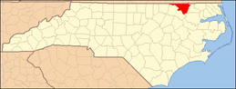 Northampton County map | |
| Unincorporated communities | ||
This article is issued from Wikipedia. The text is licensed under Creative Commons - Attribution - Sharealike. Additional terms may apply for the media files.