Plácido Rosas
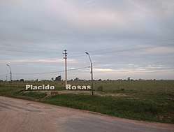
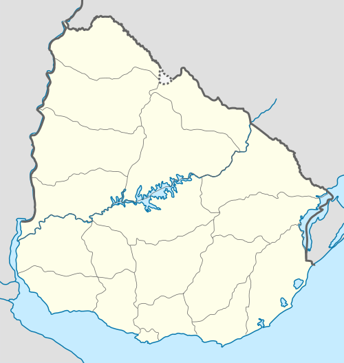
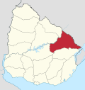
Plácido Rosas is a village or populated centre in the Cerro Largo Department of eastern Uruguay.
Plácido Rosas | |
|---|---|
Village | |
 | |
 Plácido Rosas Location in Uruguay | |
| Coordinates: 32°45′0″S 53°43′0″W | |
| Country | |
| Department | Cerro Largo Department |
| Population (2011) | |
| • Total | 415 |
| Time zone | UTC -3 |
| Postal code | 37101 |
| Dial plan | +598 4675 (+4 digits) |
Location
It is located on the north bank of Río Tacuarí, near the bridge Paso del Dragóneast, over which Route 18 crosses the river. The railroad track Montevideo - Nico Pérez - Río Branco passes through the village.
Population
In 2011 Plácido Rosas had a population of 415.[1]
| Year | Population |
|---|---|
| 1963 | 379 |
| 1975 | 428 |
| 1985 | 387 |
| 1996 | 402 |
| 2004 | 459 |
| 2011 | 415 |
Source: Instituto Nacional de Estadística de Uruguay[2]
gollark: Great, I have no idea about compatibility but it works now!
gollark: I fear that that's specifically a CC:T thing
gollark: To write strings? Weird.
gollark: Do I need to switch it to binary mode and is there a way around the only reading by bytes thing?
gollark: I'm doing this with `"w"` and `"r"` mode instead of actual binary ones, because it's worked before and because `"wb"` and whatever seemingly only allow reading by bytes which would be really inconvenient.
References
- "Censos 2011 Cerro Largo (needs flash plugin)". INE. 2012. Archived from the original on 22 May 2013. Retrieved 25 August 2012.
- "1963–1996 Statistics / P" (DOC). Instituto Nacional de Estadística de Uruguay. 2004. Retrieved 7 July 2011.
This article is issued from Wikipedia. The text is licensed under Creative Commons - Attribution - Sharealike. Additional terms may apply for the media files.
