Piyanets Ridge
Piyanets Ridge (Bulgarian: рид Пиянец, ‘Rid Piyanets’ \'rid pi-ya-'nets\) is the upturned V-shaped, mostly ice-free ridge extending 5.6 km in north-south direction, 2.4 km wide and rising to 1000 m in Havre Mountains, northern Alexander Island in Antarctica. It surmounts Kolokita Cove to the southwest. The feature is named after the region of Piyanets in Western Bulgaria.
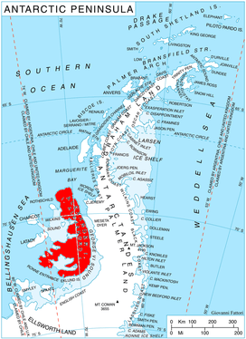
Location of Alexander Island in the Antarctic Peninsula region
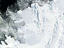
Satellite image of Alexander Island
Location
Piyanets Ridge is located at 69°20′24″S 71°46′20″W, which is 4.55 km northeast of the coastal point formed by Hopkins Ridge, 3.77 km southeast of Gazey Nunatak and 9.2 km northwest of Mount Holt.
Maps
- British Antarctic Territory. Scale 1:200000 topographic map. DOS 610 – W 69 70. Tolworth, UK, 1971
- Antarctic Digital Database (ADD). Scale 1:250000 topographic map of Antarctica. Scientific Committee on Antarctic Research (SCAR). Since 1993, regularly upgraded and updated
gollark: Nvidia has the highest-end GPUs, sure, but most of the time what actually matters is what the best GPU which fits within your budget is.
gollark: I can't tell if you're being jokey or not.
gollark: This post made by intel HD 620 graphics gang, which I guess is technically a GPU but not a dedicated one.
gollark: Imagine having a GPU.
gollark: Unless the macros are just done in software on the computer itself.
References
- Bulgarian Antarctic Gazetteer. Antarctic Place-names Commission. (details in Bulgarian, basic data in English)
- Piyanets Ridge. SCAR Composite Gazetteer of Antarctica
External links
- Piyanets Ridge. Copernix satellite image
This article includes information from the Antarctic Place-names Commission of Bulgaria which is used with permission.
This article is issued from Wikipedia. The text is licensed under Creative Commons - Attribution - Sharealike. Additional terms may apply for the media files.