Pintian Mountain
Pintian Mountain (Chinese: 品田山; pinyin: Pǐntián Shān; Wade–Giles: P'in3-t'ien2 Shan1) is a mountain in Taiwan.[1]
| Pintian Mountain | |
|---|---|
 Pintian Mountain | |
| Highest point | |
| Elevation | 3,524 metres (11,562 ft) |
| Listing | 100 Peaks of Taiwan |
| Coordinates | 24.43°N 121.27°E |
| Geography | |
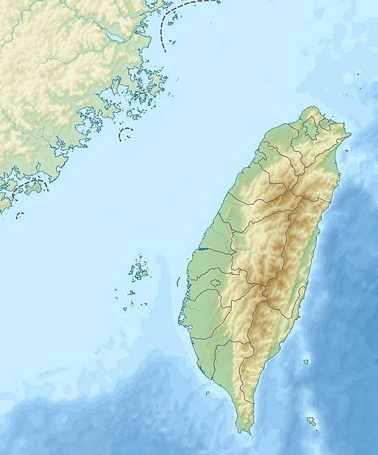
 Pintian Mountain The location of Pintian Mountain (Shei-Pa National Park) | |
| Location | Heping District, Taichung/ Jianshi, Hsinchu County, Taiwan |
| Parent range | Xueshan Range |
| Climbing | |
| Easiest route | Hike and rock climb |

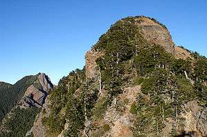
Pintian Mountain as viewed from the south
Geology
The mountain stands with an elevation of 3,524 m (11,562 ft) and is part of the Shei-Pa National Park.[2]
gollark: The existing system- results in stupid unfairness in trading- is very annoying to lineage builders who want prizes in lineages- does not allow you to work towards them at all
gollark: You can't actually earn it. It's random.
gollark: <@480213740499894283> Why should they not be in the market?
gollark: If the messies reject each other, breed them to literally any other dragon and breed the child instead.
gollark: I've attempted to breed the 29G messy aeon (29G messy aeon. 29G messy aeon) with one of the "2Gs" but got no egg.
References
- The Republic of China Yearbook 2014. Executive Yuan. 2014. p. 43. ISBN 978-986-04-2302-0.
- Liao, George (16 October 2017). "Woman dies while climbing Pintian Mountain in central Taiwan". Taiwan News. Retrieved 18 October 2017.
| Wikimedia Commons has media related to Pintian Mountain. |
This article is issued from Wikipedia. The text is licensed under Creative Commons - Attribution - Sharealike. Additional terms may apply for the media files.