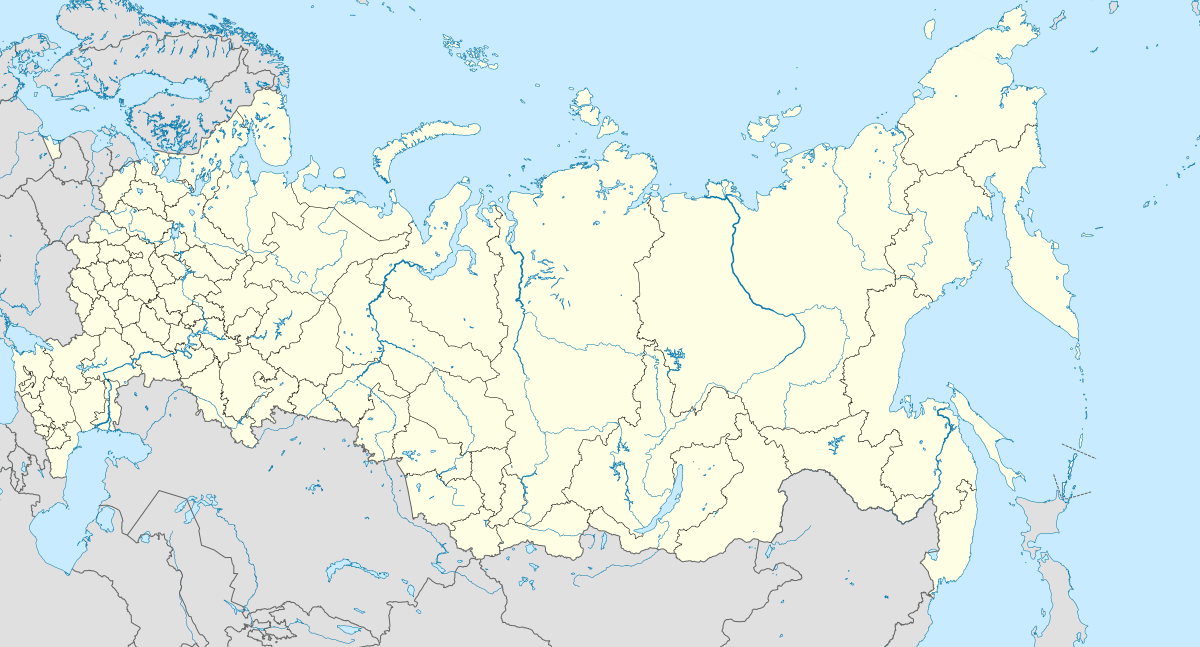
Petropavlovka, Podgorensky District, Voronezh Oblast
Petropavlovka (Russian: Петропавловка) is a rural locality (a khutor) in Skororybskoye Rural Settlement, Povorinsky District, Voronezh Oblast, Russia. The population was 164 as of 2010.[2] There are 4 streets.
Petropavlovka Петропавловка | |
|---|---|
Khutor | |
.svg.png) Petropavlovka  Petropavlovka | |
| Coordinates: 50°22′N 39°35′E[1] | |
| Country | Russia |
| Region | Voronezh Oblast |
| District | Povorinsky District |
| Time zone | UTC+3:00 |
Geography
It is located 5 km south-west from Podgorensky, on the right bank of the Gnilaya Rossosh River.
gollark: I did *try* and encode it with a transparent background.
gollark: Who knows, then.
gollark: It seems to be transparent if I *play* it, just not as the thumbnail.
gollark: I managed to compress it even better, but it still has a white background.
gollark: It has a white background because... of the video codec, I suppose? I remember that some codec supports alpha channels so I can encode it differently.
References
- Карта Подгоренского района Воронежской области
- Всероссийская перепись населения 2010 года. Численность населения городских округов, муниципальных районов, городских и сельских поселений, городских и сельских населённых пунктов Воронежской области
This article is issued from Wikipedia. The text is licensed under Creative Commons - Attribution - Sharealike. Additional terms may apply for the media files.