Paninskaya, Kharovsky District, Vologda Oblast
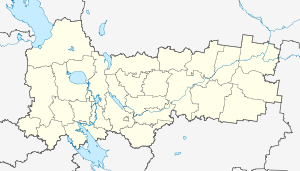
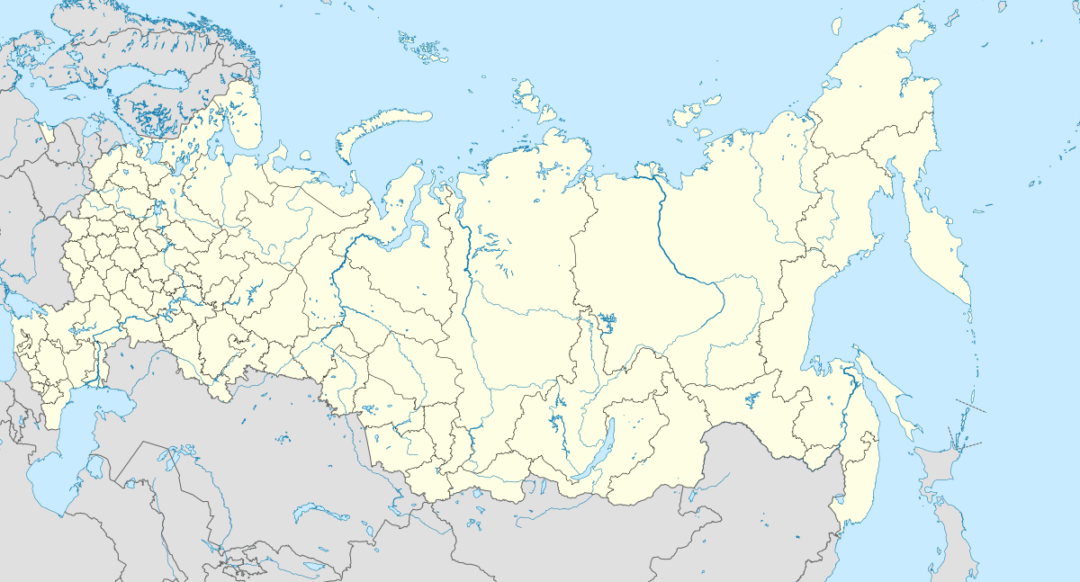
Paninskaya (Russian: Панинская) is a rural locality (a village) in Kumzerskoye Rural Settlement, Kharovsky District, Vologda Oblast, Russia. The population was 4 as of 2002.[2]
Paninskaya Панинская | |
|---|---|
Village | |
 Paninskaya  Paninskaya | |
| Coordinates: 60°11′N 39°39′E[1] | |
| Country | Russia |
| Region | Vologda Oblast |
| District | Kharovsky District |
| Time zone | UTC+3:00 |
Geography
The distance to Kharovsk is 56 km, to Kumzero is 7 km.
gollark: Also, it would be *worse*, since you can't see the interior.
gollark: The thing on the left is technically possible, I just don't really want to have to actually render cubes.
gollark: Well, I was very lazy, so the 3D mode just takes the 2D grids, stacks them vertically and not horizontally, and rotates them around certain axes.
gollark: Surprisingly, no.
gollark: Drawing cubes is more difficult than drawing and rotating planes.
References
- Карта Харовского района Вологодской области
- Данные переписи 2002 года: таблица 2С. М.: Федеральная служба государственной статистики, 2004.
This article is issued from Wikipedia. The text is licensed under Creative Commons - Attribution - Sharealike. Additional terms may apply for the media files.