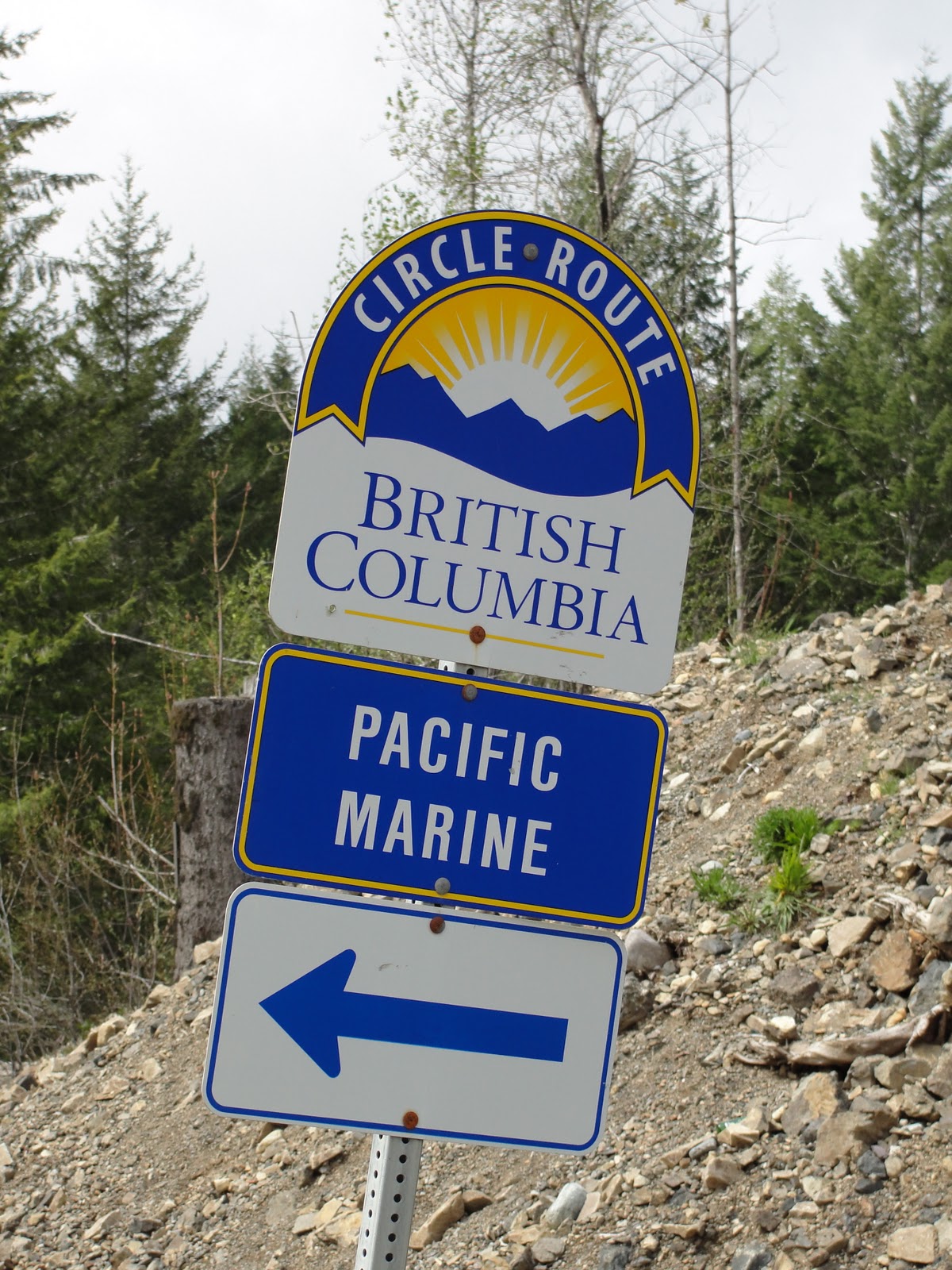
Pacific Marine Circle Route
The Pacific Marine Circle Route is a 263-kilometre (163 mi) marked scenic loop road through southern Vancouver Island in British Columbia, Canada. The route is composed of Highway 14, Pacific Marine Road, Shore Road, Highway 18, and a segment of the Trans-Canada Highway.[2][1]
| Pacific Marine Circle Route | |
|---|---|
| Route information | |
| Length | 263 km[1] (163 mi) |
| Component highways | |
| Highway system | |
| British Columbia provincial highways | |
The Pacific Marine Circle Route was established by the British Columbia Ministry of Tourism, Arts and Culture with the promise of an increase in tourist travel in southern Vancouver Island.[3] It is one of British Columbia's 12 Circle Routes scattered throughout the province.[4][5]
Route
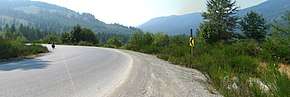
Pacific Marine Road between Port Renfrew and Lake Cowichan
Attractions
See Also
gollark: How odd.
gollark: So you should probably do something else.
gollark: PotatOS won't boot off a startup disk.
gollark: Just get another computer, `set shell.enable_disk_startup false` (or something like that), plug in a disk drive, make a simple program to automatically delete `startup` on any disk you put in.
gollark: Very easily?
References
- "Pacific Marine Circle Route". Super, Natural BC. 2018-03-22. Retrieved 2020-01-24.
- "Pacific Marine Circle Route". Tourism Vancouver Island. Retrieved 2020-01-24.
- "Provincial Government of BC | Destination BC". Retrieved 2020-01-24.
- "ExploreNorth". www.explorenorth.com. Retrieved 2020-01-24.
- "Tours and Drives | Travel Resources". Travel British Columbia. Retrieved 2020-01-24.
External links
This article is issued from Wikipedia. The text is licensed under Creative Commons - Attribution - Sharealike. Additional terms may apply for the media files.